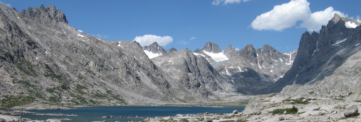
2021 CDT Hike
See My Garmin InReach Location.
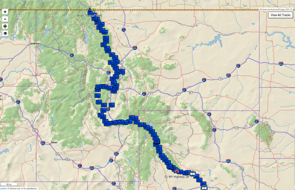
Here is the log of My messages showing the content, the time, and the GPS location. I also converted the Garmin InReach GPS locations to Google map locations.
2020 CDT Hike
This is where in the world I am.
I will be using my Garmin InReach Mapshare map. The input is Delorme InReach Explorer messages sent to Mapshare. It does not show the CDT trail and its alternatives.: My Garmin InReach Location
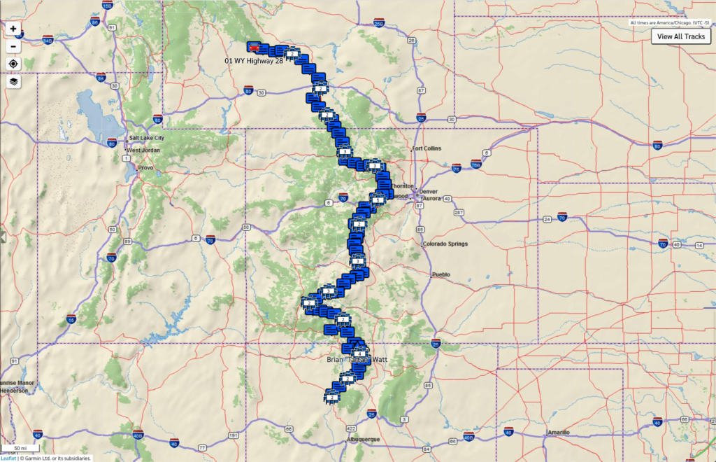
During hike both Justin and I carried Garmin InReach devices. Each day, when we got to camp, we would send a message to family and friends telling them we were OK which included our location. In addition we use these devices to send each other private messages. Here are logs of My messages, and Justin’s messages showing the content, the time, and the GPS location. I also converted the Garmin InReach GPS locations to Google map locations.
2016 CDT Hike
Choice 1: My own CDT Tracking map. The input is a Goodle Doc spreadsheet or as a PDF. Needs a way to convert from latitude and longitude to Bear Creek waypoint and then to convert Bear Creek waypoint to Guthooks trail mileage. Shows the CDT trail and its alternatives.
Choice 2: My TrackLeaders map. The input is the Delorme Mapshare website. Shows the CDT trail and its alternatives.
Choice 3: My Delorme Mapshare map. The input is Delorme InReach Explorer messages sent to Mapshare. It does not show the CDT trail and its alternatives.