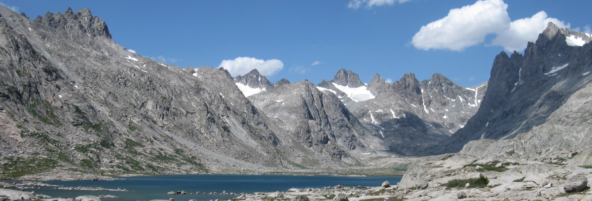
As my last post said I hurt myself. I pulled a groin muscle and had to stop exercising entirely for 6 weeks. I felt that my hike was kaput. I could barely walk. But over time it began to heal. Then I tried exercising with a 12 lb weight belt. The first few weeks I took Advil each morning beforehand. I was sore. I didn’t know if I could hike. Finally I stopped the Advil but I still had pain, burning and tightness. I was depressed and still it didn’t look like I could hike. But over time the pain and tightness lessened. By the beginning of June I was up to 18 lbs and doing 10-12 miles each day. So although I had wanted to be fitter (going longer with a heavier weight) I am going to attempt this last section from South Pass City WY to the Canadian border. This will probably be the hardest hike I’ve ever done. Justin’s support is crucial. I’ll start slowly. So here goes. I have my flight for June 14 to Salt Lake City where I’ll meet Justin. Then we’ll be off to the races, or more likely off-to-the-slow-and-steady-hike.
Category: Brian’s BLOG
Training again
On January 1, 2021 I started training again around Austin. I’m training for my last 1268-mile section of the Continental Divide Trail from South Pass City WY to the Canadian border. After the last hike and up until then I’d been sedentary. I started with 3.5 miles per day and so far I have built up to 9.1 miles per day. Also I started with 0 weight and have built up to 12 lbs via my weight vest. Each Saturday I do a long hike also with the vest. Today I included hills. From now on I’ll climbed Mount Bonnell on Tuesdays and Ladera Norte on Thursdays. Today I climbed Mount Bonnell 4 times after starting at Mayfield Park. This was followed by a 2.25 mile loop around and down Balcones Drive back to the park. As a result I have a sore left hip which hopefully will feel better tomorrow.

Done
I completed my LASH (long ass section hike) today. It’s been a hectic week and a half. On Tuesday September 8th we were hit but an early season snow storm. It caused us to hunker down until Friday September 11th when we escaped.
So instead of hiking it all southbound I flip-flopped from mile 2213 to my planned endpoint at Cuba NM at mile 2362 and hiked northbound.
Today I arrived back at mile 2213 and the scene of our three day snow blockage. Finally I was done hiking. I have hiked 1060.6 miles and Justin and I are now heading home to Austin.


So much so little
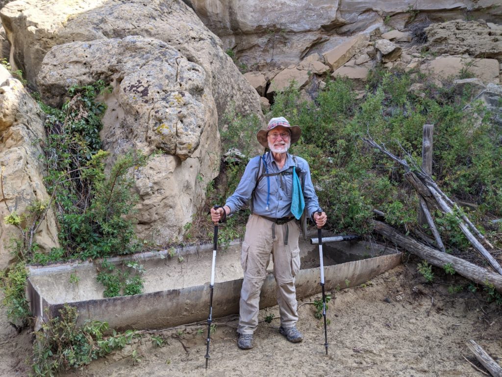
So much has happened since I last posted. Each night I check for cell signal and nada. I’ve been taking pictures to post but I’ve forgotten why I took them. All I can say is I’m still hiking and I’m almost done with the grand state of Colorado. The mountains have been very tough. So much so that I’m taking a zero day (no hiking) in Pagosa Springs CO today to recover. Then tomorrow I’ll have about 70 miles and I’ll be in New Mexico.


Passing by Rocky Mountain National Park
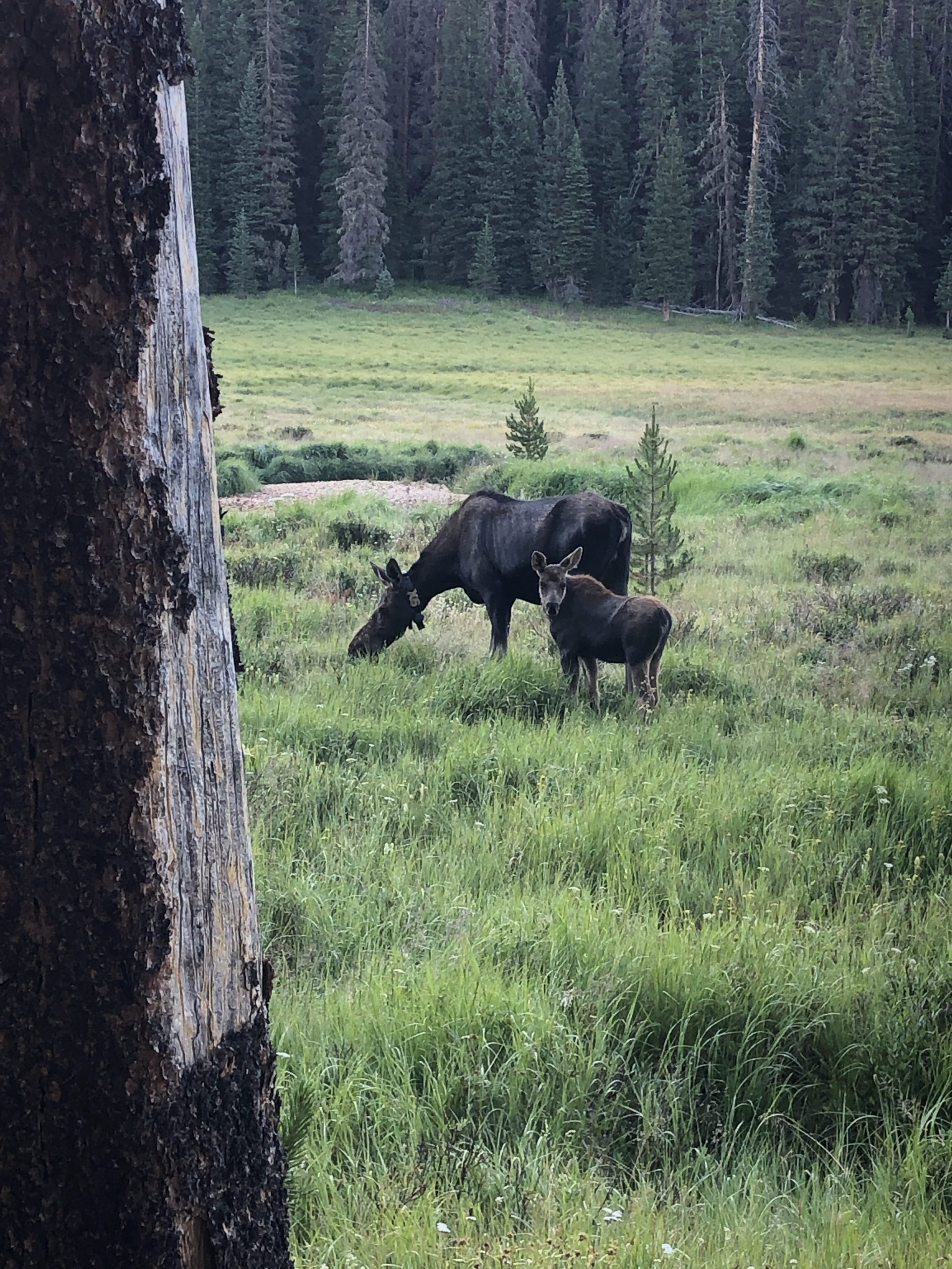
We didn’t have time to do much planning. Justin and I live one day at a time. So when he tried to get a wilderness pass to hike in RMNP we were unsuccessful. Instead there is a bypass AKA an alternative which I slack packed today. As I rounded a corner I came upon a moose and her moosling (cow and calf). Quickly I snapped this picture and moved on. All the moose that I’ve encountered so far are not frightened of people so they do not run away. Instead these massive animals just stand there and stare back at you.
See that mountain in the distance
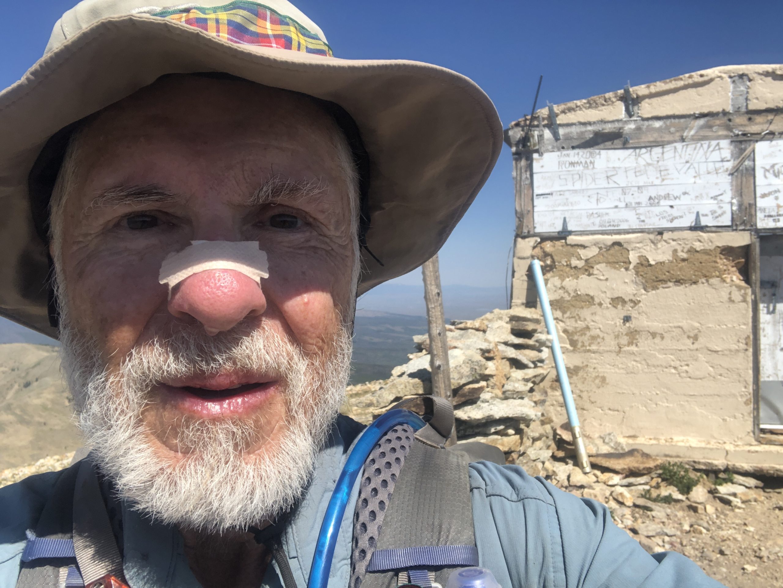
I’m going to climb Parkview mountain which is in the distance and 12296 ft above sea level. It took me 5 long hours to climb.
The second picture is from the top. The nose strip helps me breath the rarified air.
Now to descend down the knife edge for miles.


Natural beauty
As you hike along the views are extraordinary.
The morning starts with no clouds. Then over time clouds begin to appear. Around noon and later in the afternoon the clouds can become threatening. They may even rain. By evening they’re gone. And it starts over again the next day. It’s “monsoon season“.
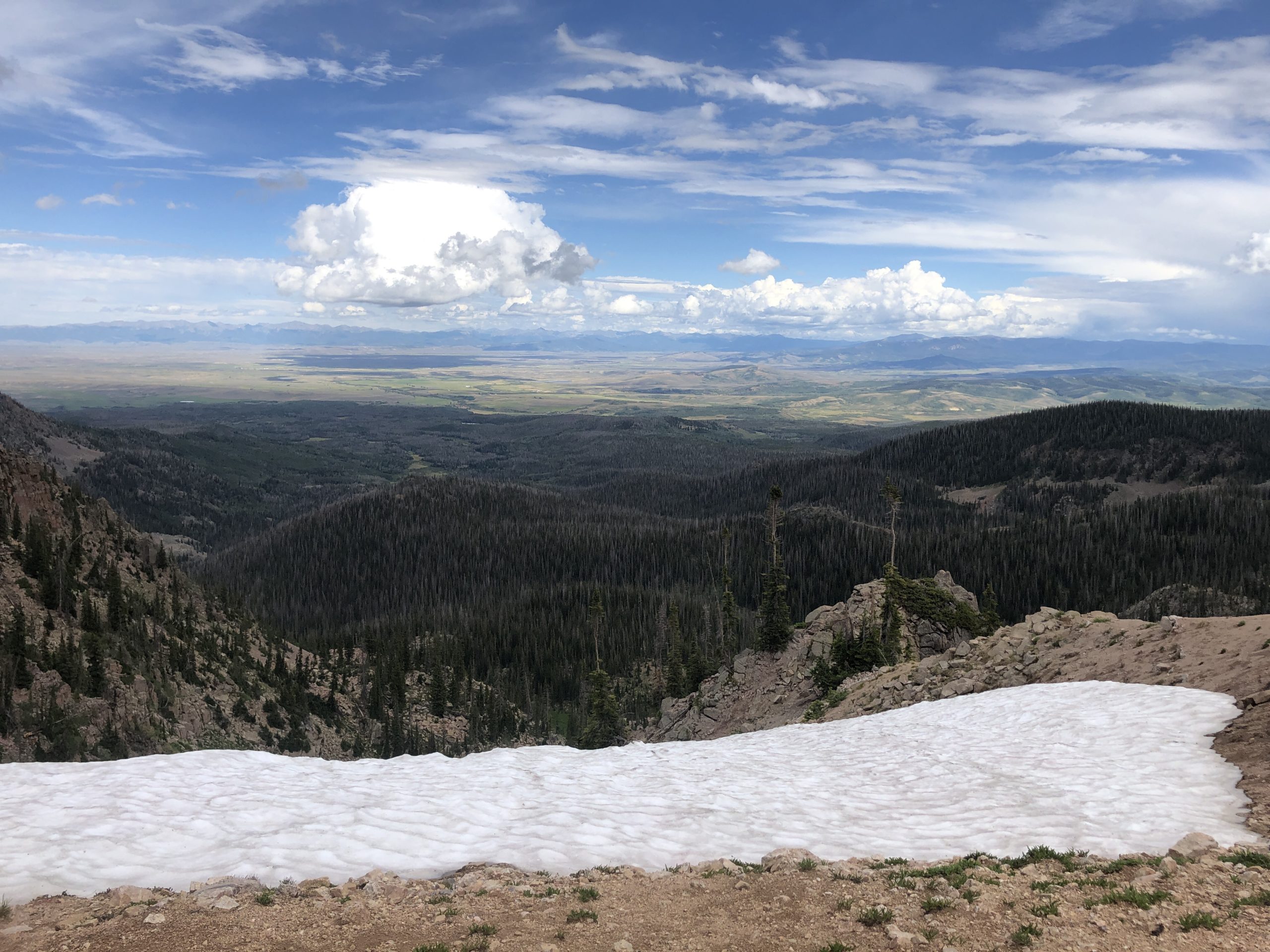

Fields of wildflowers
Even though it’s late July it seems that the mountain flowers think it’s spring. The trail leads me through so many different environments. From one beautiful spot to another. From fields of flowers across fields of grass to fields of rocks.

Up high
The trail is getting higher. I’m typically over 10,000 feet above sea level. For someone from Austin TX which is near sea level I’m still not fully adjusted. I find it is especially difficult getting enough oxygen when climbing. There are times when I have to just stop and try to gulp in enough air.

Crossing into Colorado
At the border from Wyoming to Colorado some one put white rocks across the trail to mark the border. When I saw them I looked up and saw that someone else nailed a Colorado license plate and a Wyoming license plate to a tree. I’m now in Colorado.

