Category Archives: Hike

Gluttony

All I do is eat all day long. I have to feed my hiking engine. Breakfast at 6 AM, Clif bar snack at 8 AM, Granola bar snack at 10 AM, Lunch at Noon, Candy snack at 2 PM, and Dinner about 5 PM.

Sometime I take a picture of the view and completely forget why I took it. This is the case for this picture.
Sometimes the trail crosses train tracks. Look both ways. Listen both ways. Then cross
This morning I got a cell signal at the lookout. The view was nice and I sent a message to my middle son telling him he is in my thoughts and wishes today
Climbing the pastures in the morning is like walking through a stream. Each blade of grass has dew on it and soon your pants, shoes and socks are sopping wet.
Yet another obstacle to surmount. Between farmer’s field you need to carefully climb up, get your pols over, turn around, and climb down. With 30 lb. pack this can be awkward
I just thought this look neat. The twisted ruins of a fallen tree and the blooms of the rhododendrons. By the way it was easy to cross.
Tonight I’m staying at Chestnut Knob Shelter at 4400’ elevation and a nice view
The Chestnut Knob Shelter is a building with a door unlike most shelters with just three sides

And there he goes again into the mountains

In Damascus the streets are paved with AT as it runs through town (not really it’s just the sidewalks)
The AT has many bridges to cross streams versus the PCT where you had to wade across
Sine the start in Georgia I’ve been passing thousands of rhododendrons and finally they are starting to bloom. More signs Spring is here
More on the obstacle course… if you think the trail fairies and elves make the trail flat and manicures, sorry, it is rocks and other things constantly
For example riots, I’ve got to watch not to twist an ankle
And then there are the dreaded steps, both up and down, hikers hate them and try to hike on the edges to make a ramp
The Greyson Highland has ponies and they come right up to you. You are not supposed to feed or pet them but you can tell by their nuzzles that they have been
Same view ithout the pony in it – ha!
Yet another minor obstacle, crossing small streams by leaping from rock to rock. Because I’m unsteady I carefully step. Which rocks would you use?
My roomie in Marion VA at mile 534, Lex, a very nice guy

Made it to Virginia

Two days of rain means wet feet all day, splashing in trail puddles, oozing mucky trail, and at the end of the day taking off those gawd awful filthy shoes, wet gaiters and sopping socks
The AT is one of the worlds longest obstacle courses. For hours on end you encounter things to go over, go around or go under. In this case I chose to go over as did the hiker in front of me. There are tens if not hundreds of things like this to negotiate each day. It keeps you mentally busy and in the moment. The muck added a bit extra zest.
Today I am Damascus VA at mile 472. It was a tough hike because of the rain and a kink in my back. So instead of resupplying and going on I’m staying at the Woodchuck hostel where I got a shower, washed my clothes, resupplied, and met a few other hikers in a multi bed dormitory.

Heading to and leaving Hampton TN

Somewhere outside of Hampton TN I just thought the view was pretty
Going into Hampton TN you walk by the Laurel River. The sounds of river water is so calming and nice
Down many many uneven stone steps and you see Laurel Falls
Everyday you need liters of water. Here is a typical source. Can you see the leaf that makes a spout to fill your bottle easily. After that you filter it and chugalug. Yum!
After leaving Hampton TN you need to climb over this mountain where you get to see this lake far below.
And then three miles later and one and one half hours of hiking you are walking beside this same lake
The lake is the result of an earthen Dam which the trail goes across
The view from behind our shelter. We’re back up high again with the lake in the distance. There is a hundred foot drop off, but these youthful hikers are just relaxing and enjoying the sights

400 miles

On Little Hump Mountain high about the clouds early in the morning.
Rarely do you get to see where the trail is going to go. I’m on Little Hump looking towards Hump Mountain which i’ll be climbing soon. Can you see the trail?
Yay! I’ve left North Carolina and I think I’m now in Tennessee. The sign only said I left NC, but nothing about what state I entered
Finally found a mileage on the trail. I’ve missed all the earlier ones

Each day I move on

Heading down into Erwin TN for a resupply
But it was a special day and across the river in a park they had an all-you-can-eat for hikers – major trail magic! I had a double hamburger, a hot dog, some potato salad, and cheese cake. Oh and don’t forget the coke!

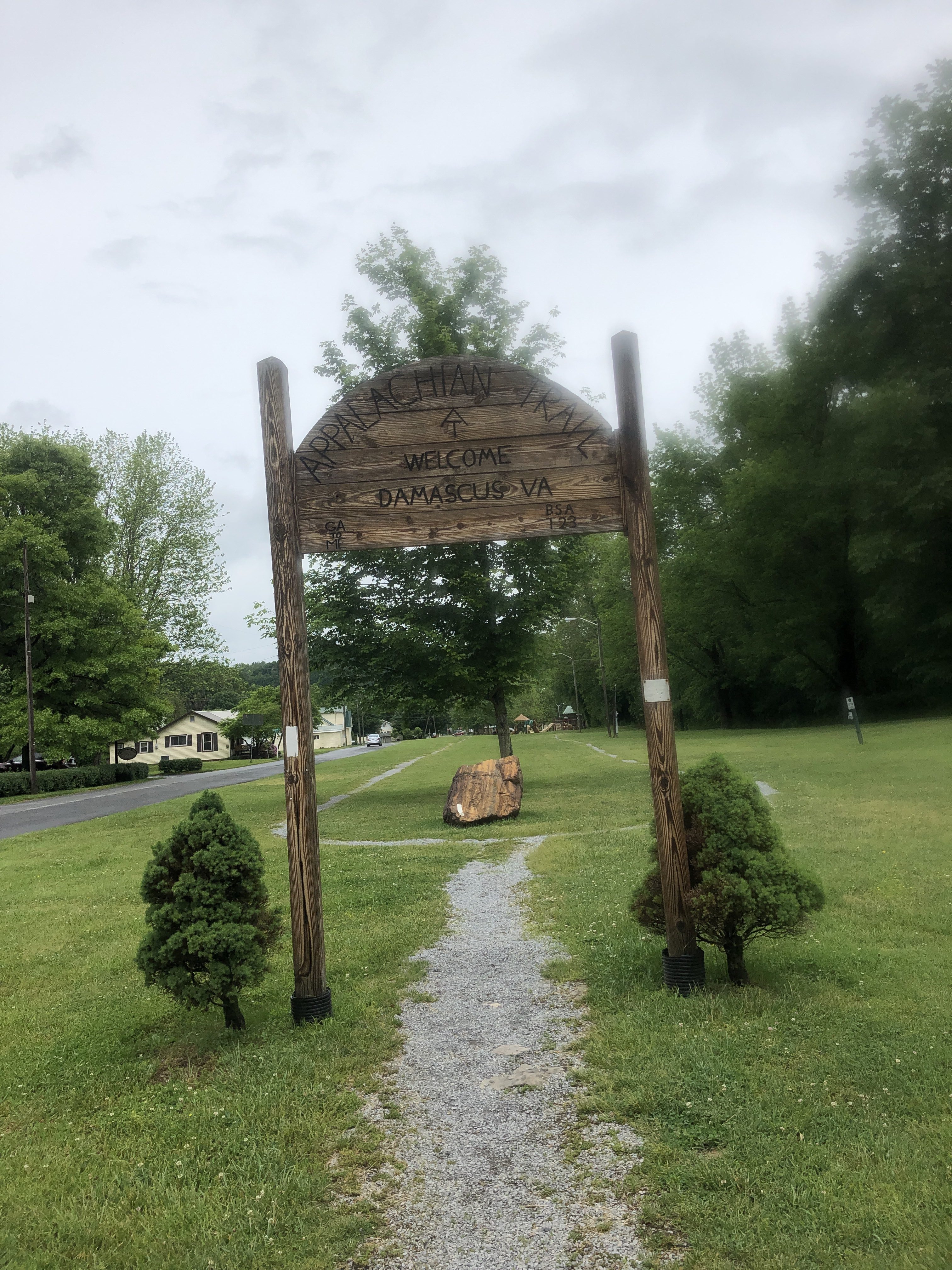
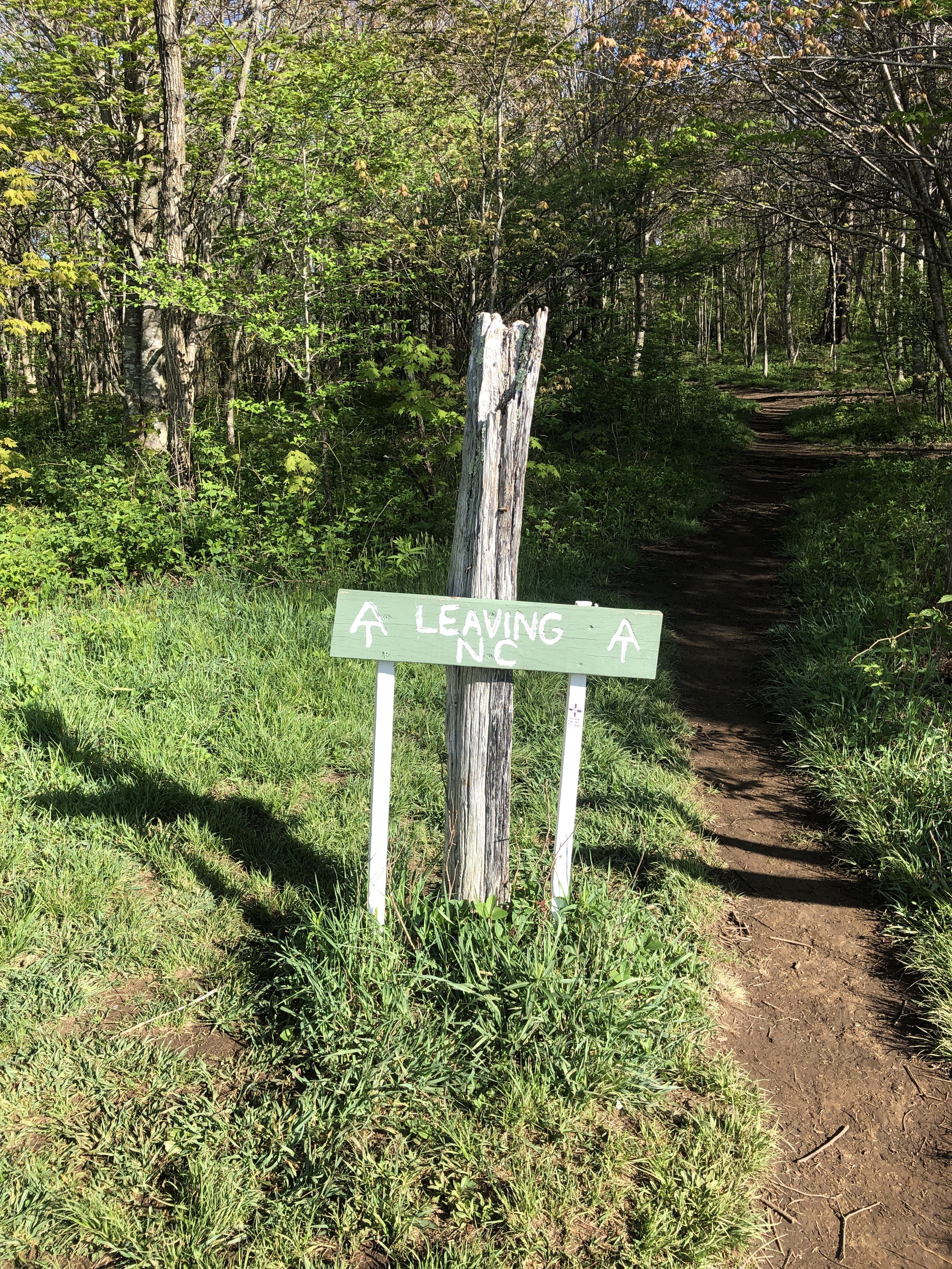
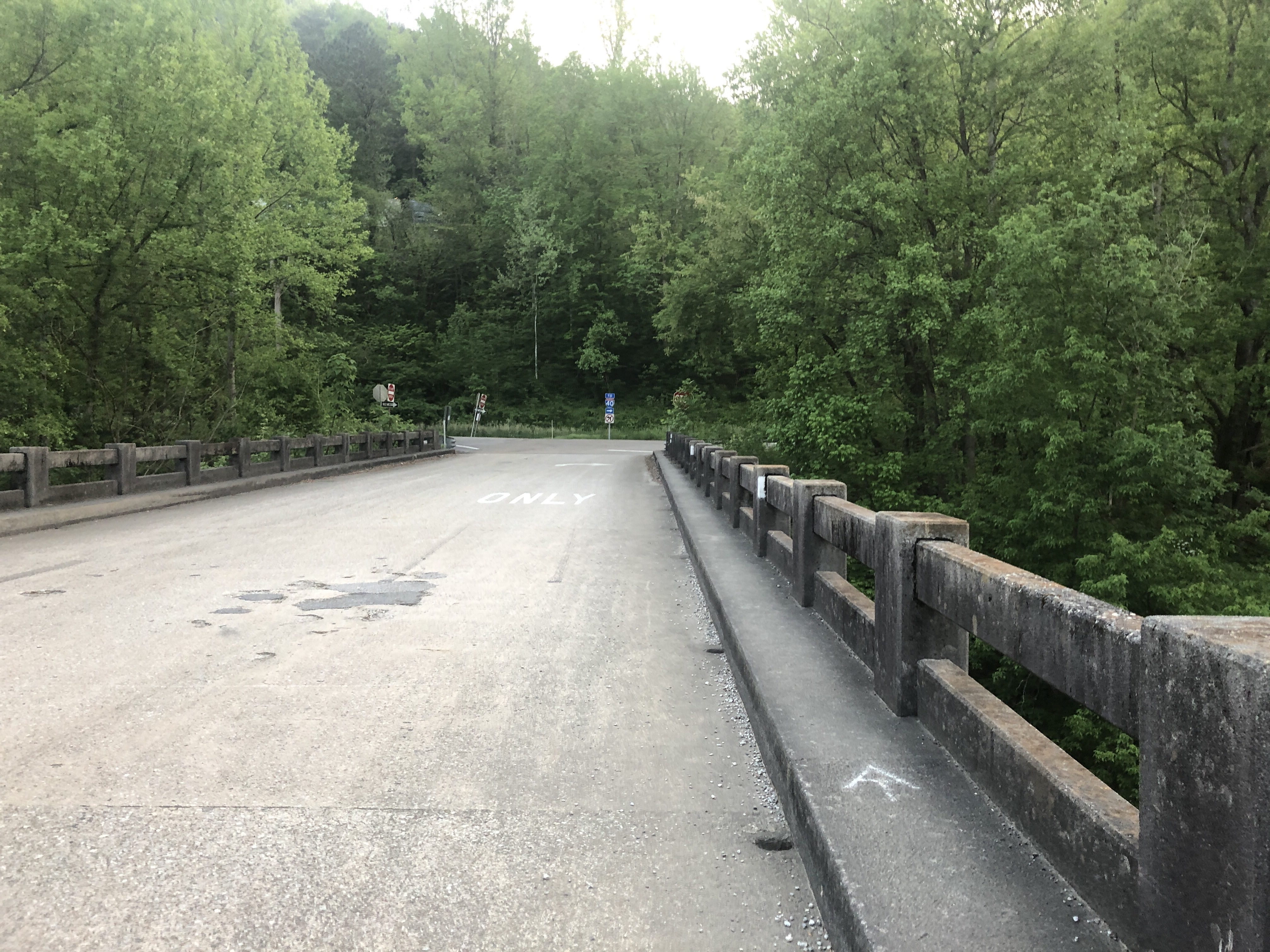
About 350 miles at this point. After the lunch I got back on trail by climbing out of town and back into the mountains and rain.

Keep moving

The easy and safe way to cross a river near Interstate 40
Follow the white blazes or the AT symbols to find your way across the bridge
The toes get sadder and sadder. Now the right foot big toe needed some loving, because I wore the skin off the tip. Also this is more realistic because of the dirt too. PS nothing actually hurts.
Small stream requires small bridge, all handcrafted from local lumber.
Local volunteer organization maintain the trail
In Hot Springs NC the trail goes right through town so they’ve marked it with embedded emblems in the sidewalk
Passed mile 300 today and had a difficult rocky climb but the view was great
Another picture from the summit, but didn’t stay long. I’ve got miles to hike so on I go.

Over 200 miles

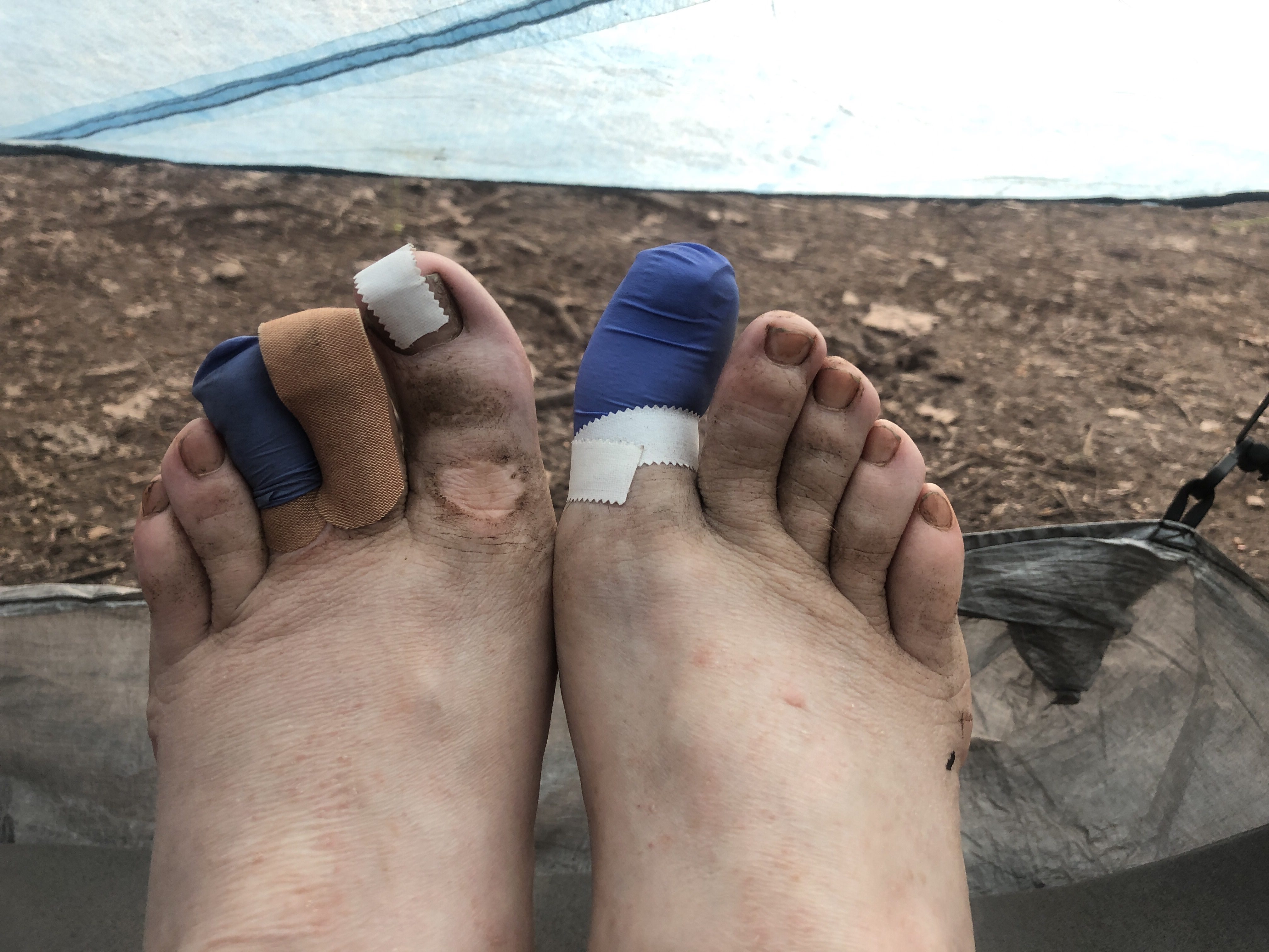
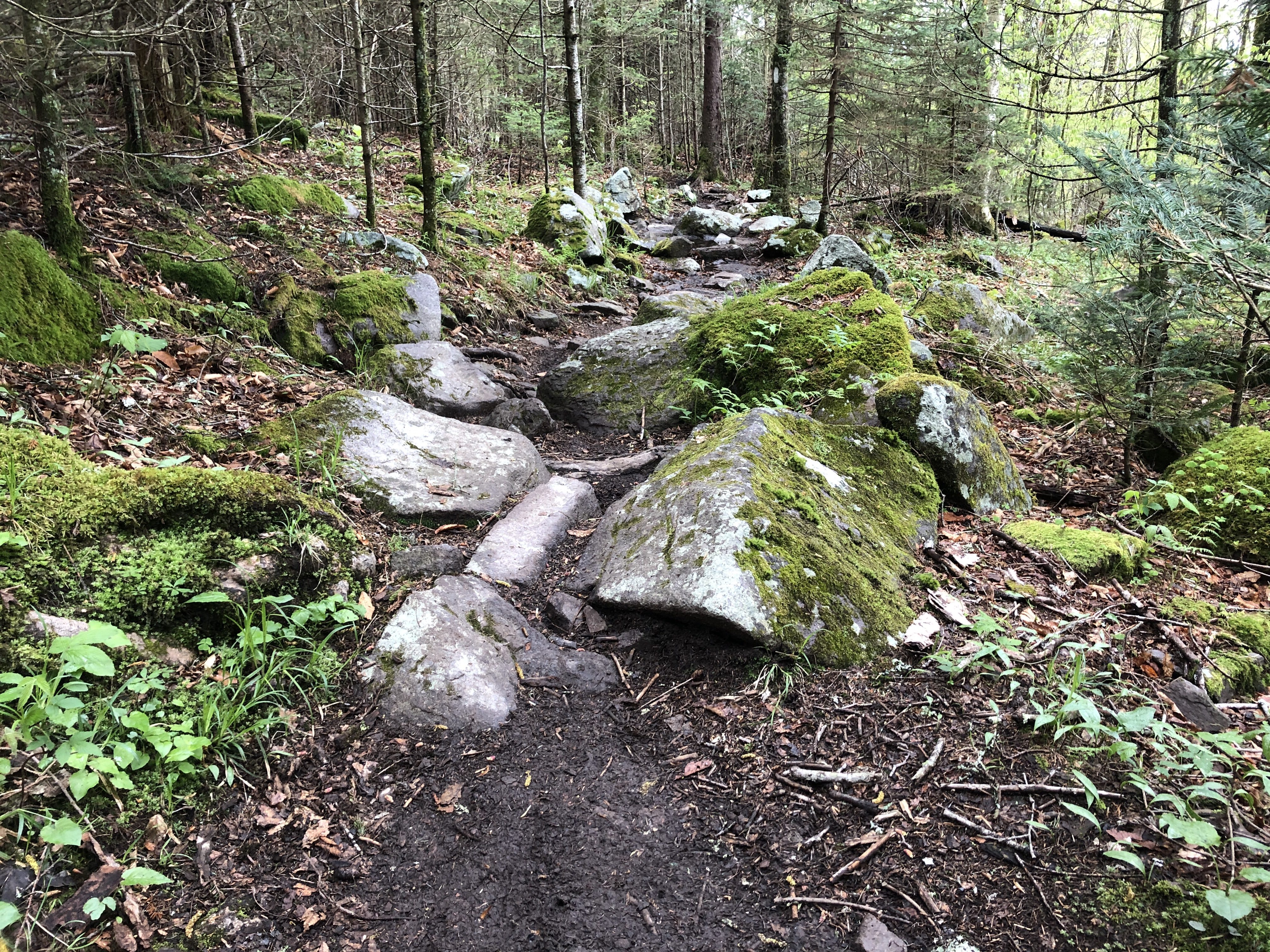
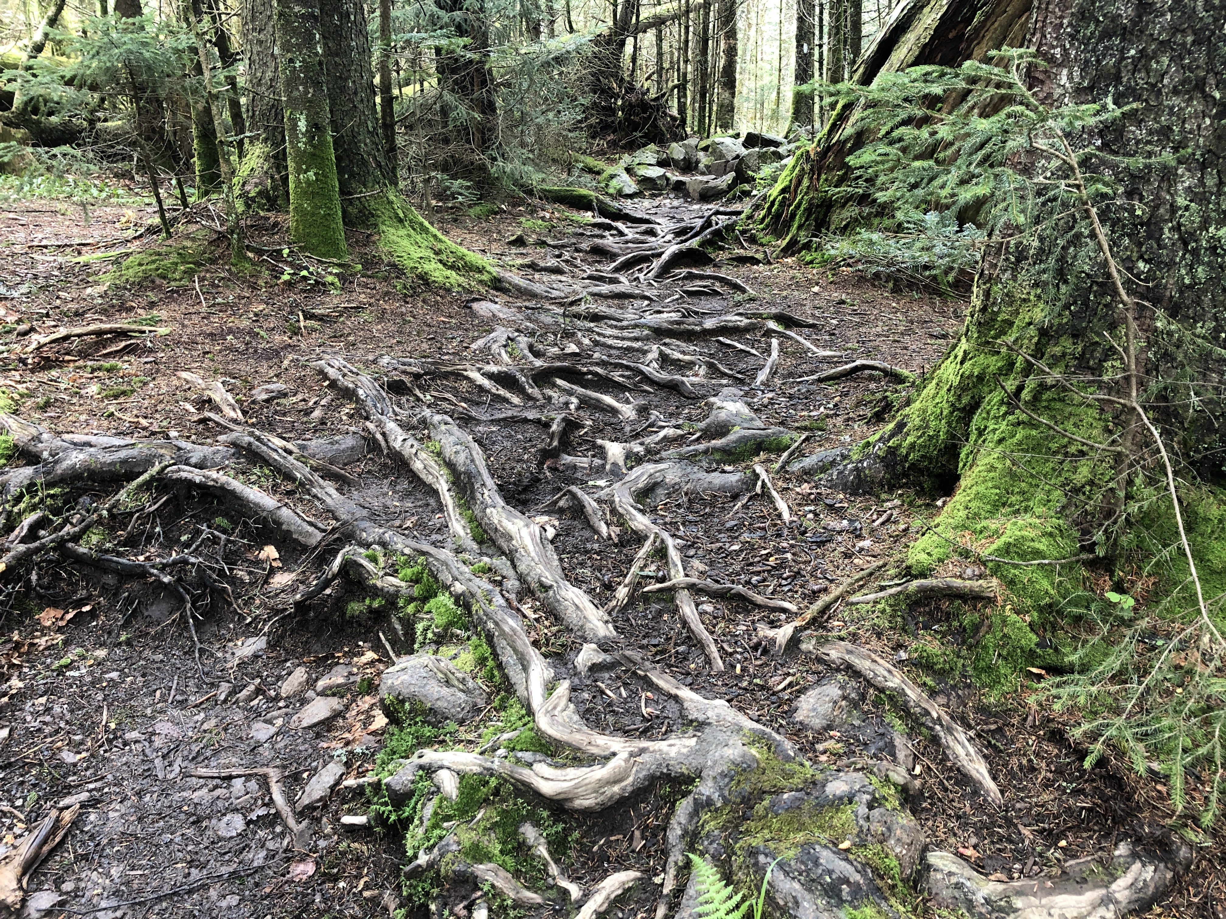
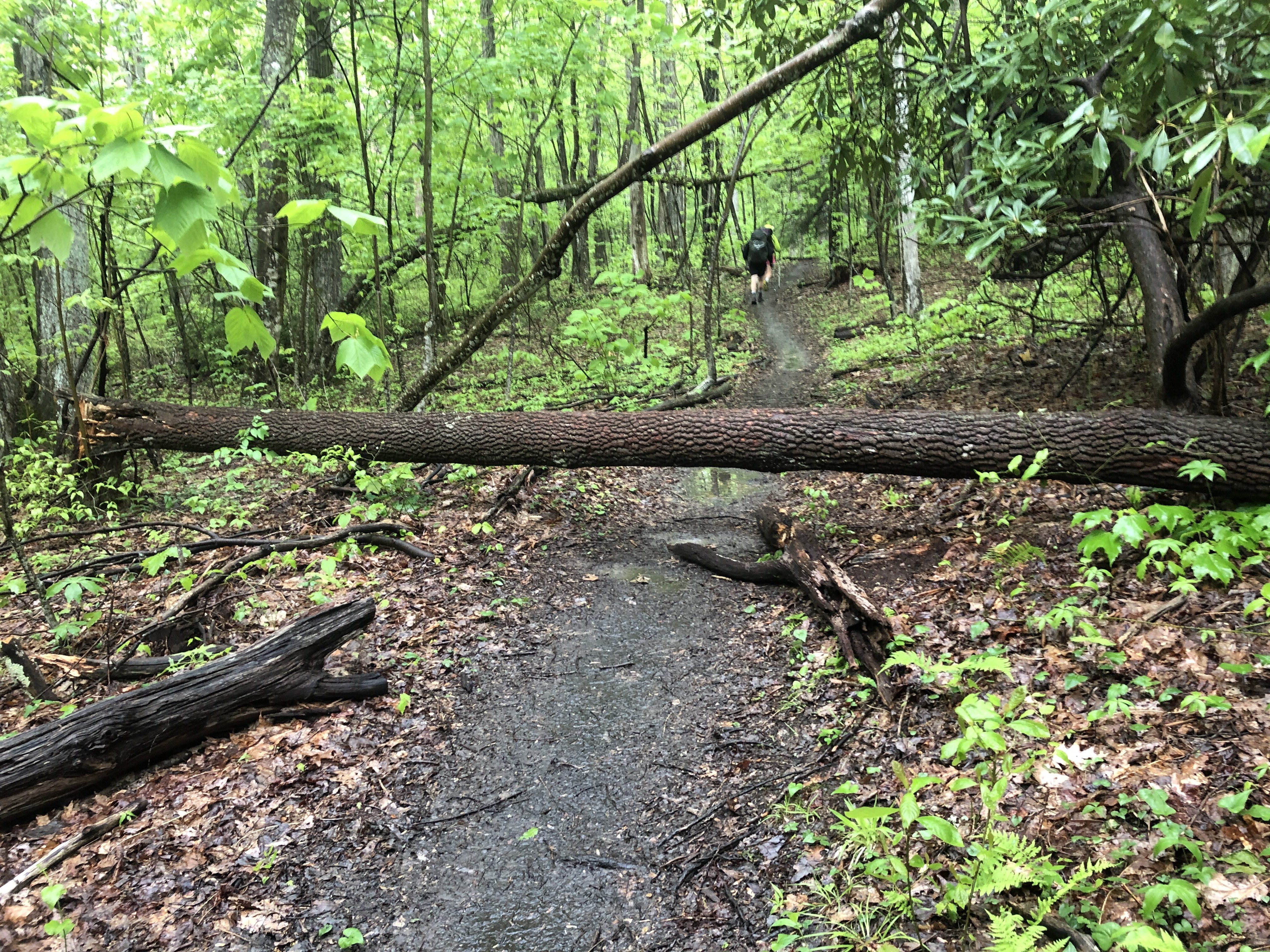
Each day I get up and hike. I thought I’d be able to hike longer distances, but the trail is harder with constant ascents and descents that slow me down. I’m doing about 30 minutes a mile and it takes me 8 hours to cover just 16 miles. Typically I wake at 5:45 AM, pack up my tent and start about 6:30 AM and finish about 3-4 PM depending upon how long I stop for lunch. Then it’s time to set up my tent, send my GPS location, make dinner, etc.

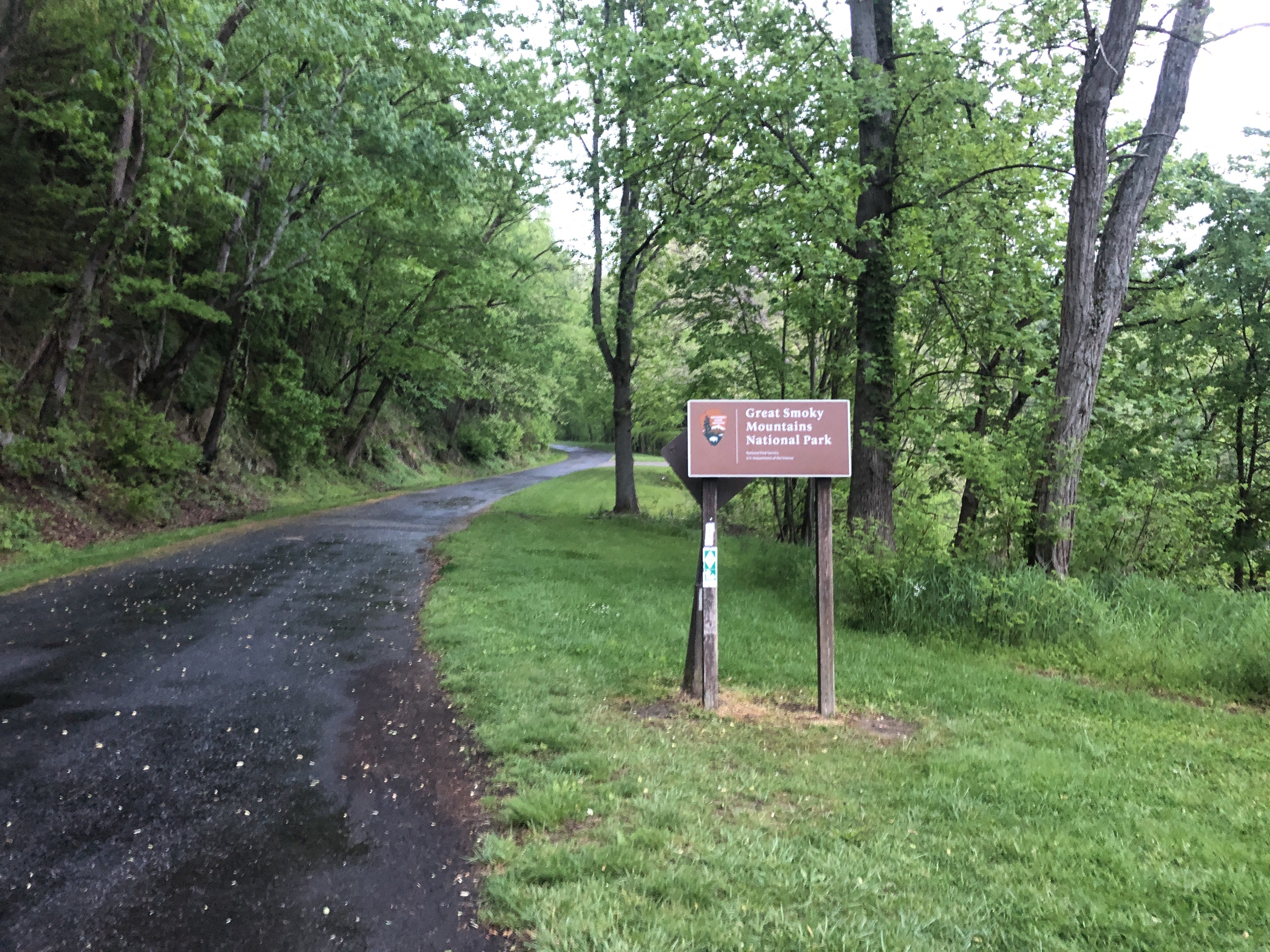
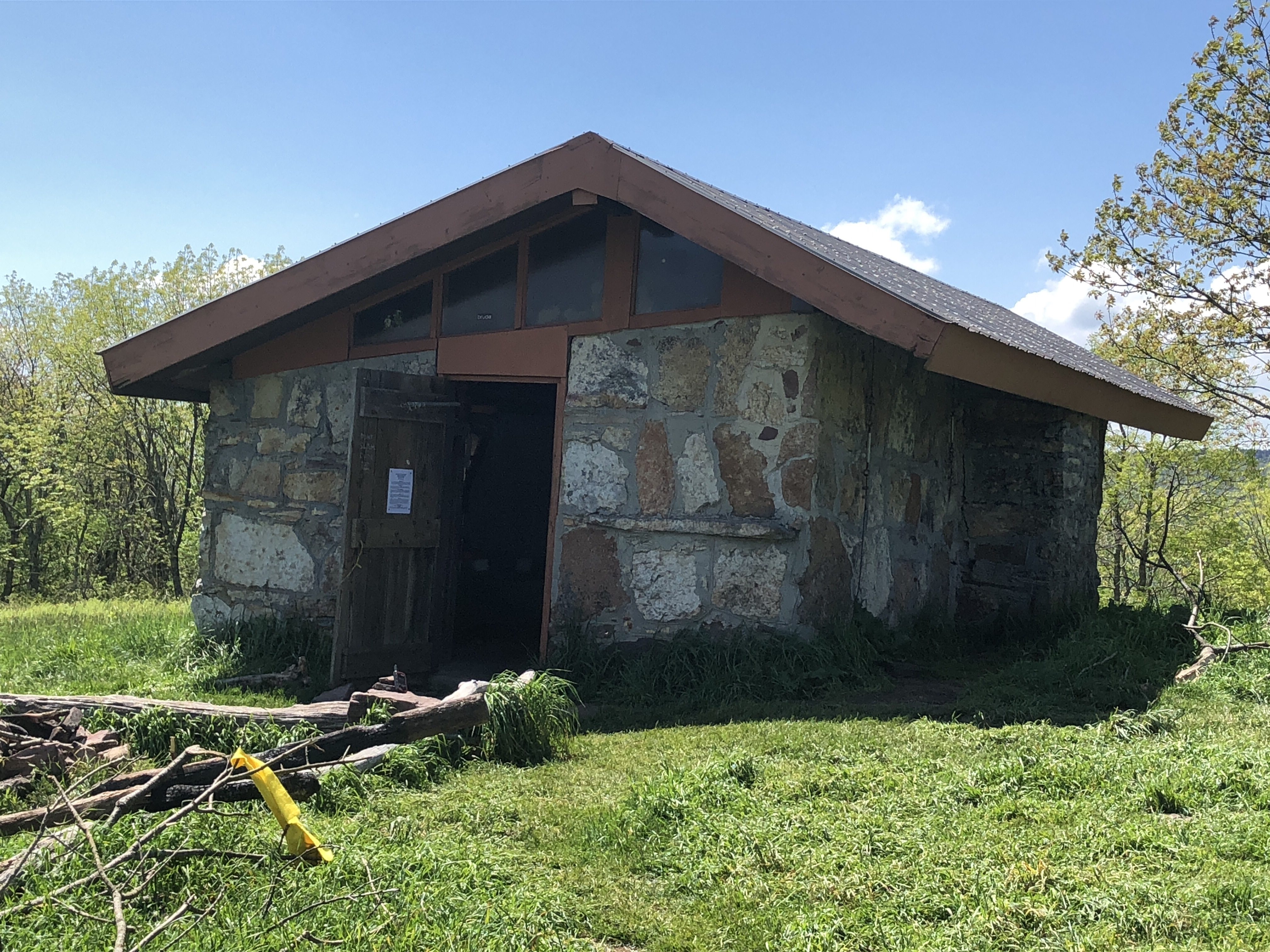
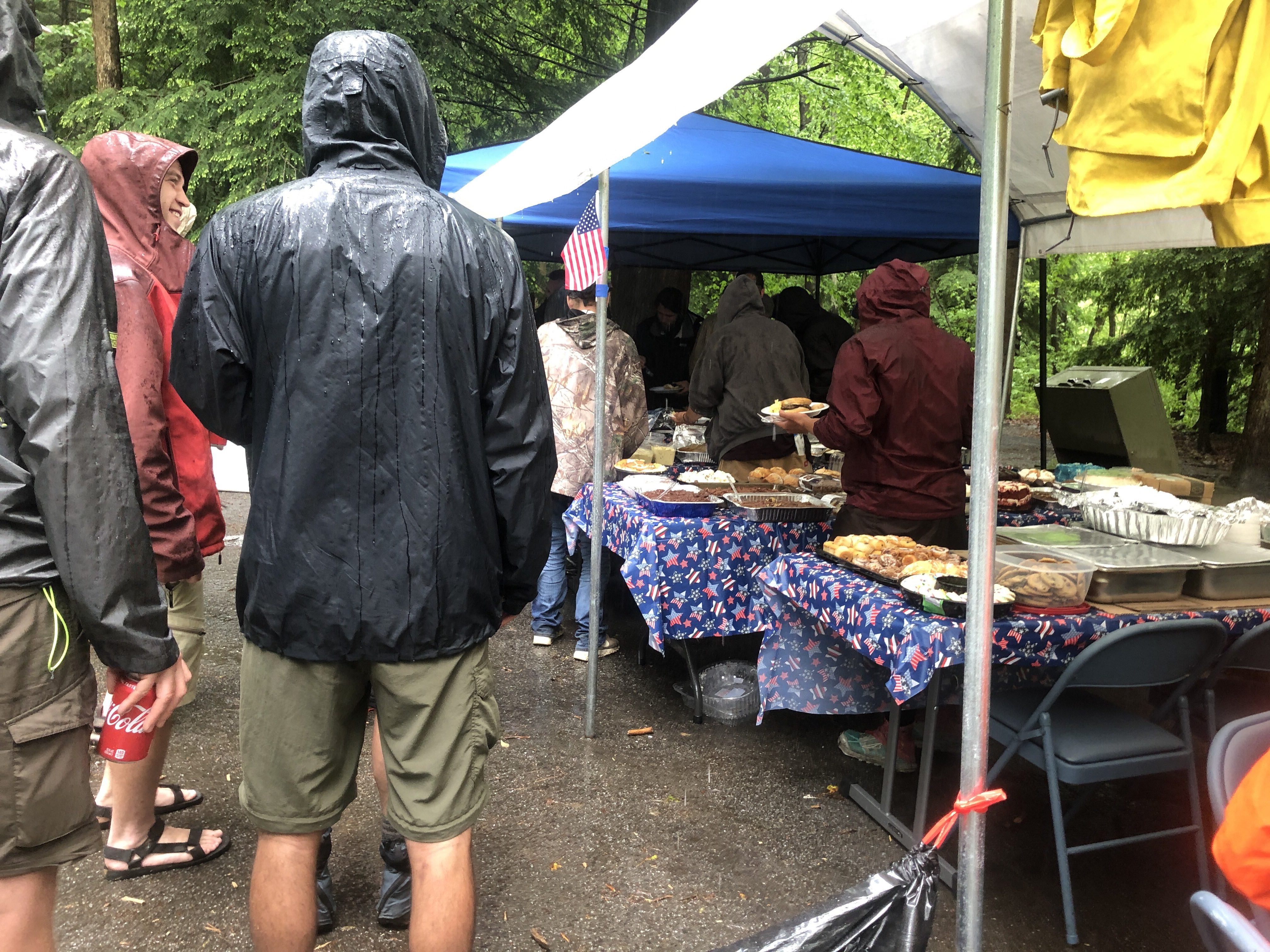
Just after reaching 200 miles I hitched into Gatlinburg TN for food resupply. It took too long so I had to stay in town. Two other hikers and I got a room for the night. Two beds and one slept on the floor. We got up at 7 AM to catch a 15 mile ride at 8:30 back to the trail. It was a late start and then it was hours of hiking to get to the shelter for the night. There were at least 12 in the shelter. Each on our own mat and in our sleeping bags. Very communal living.

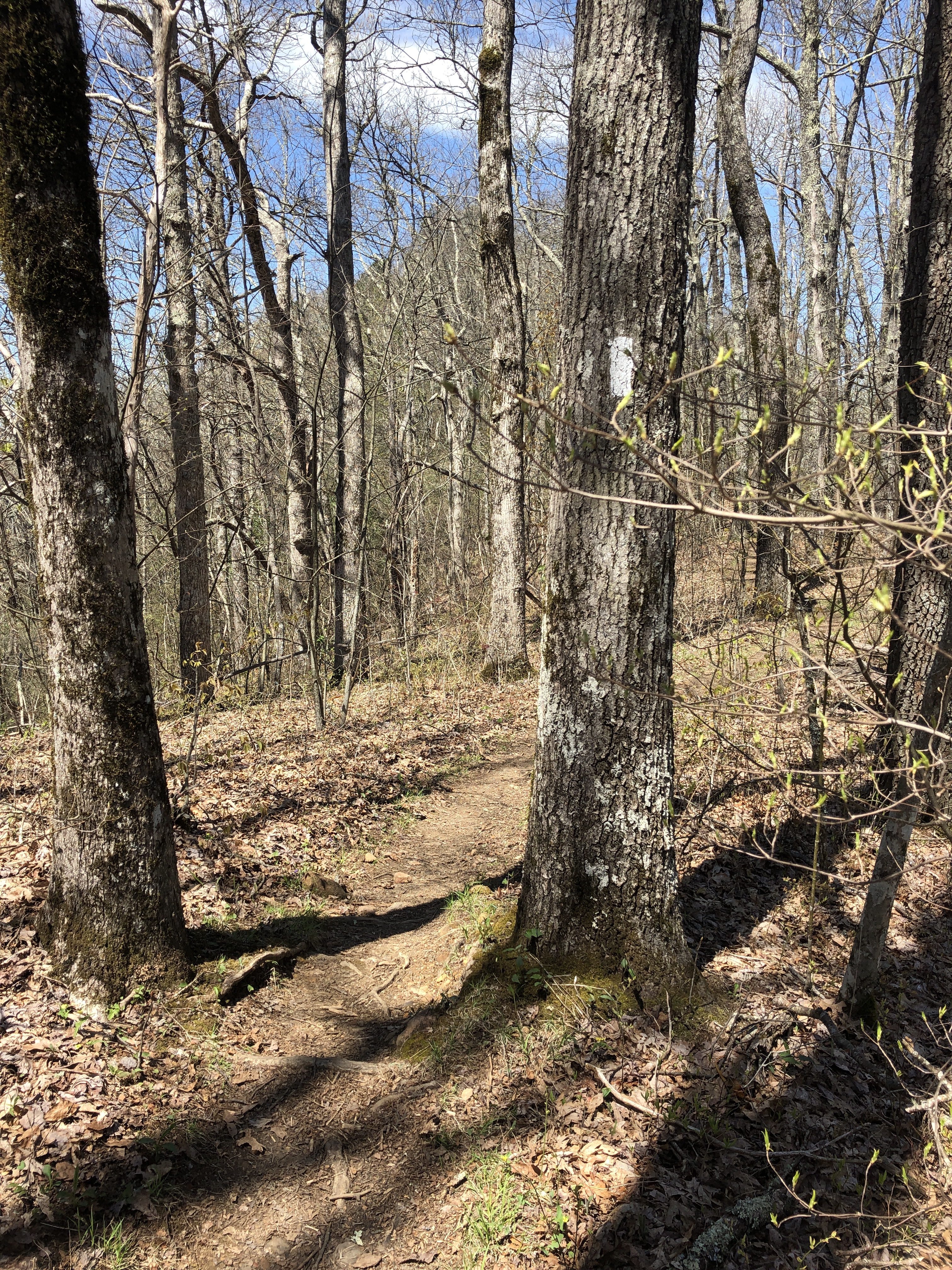
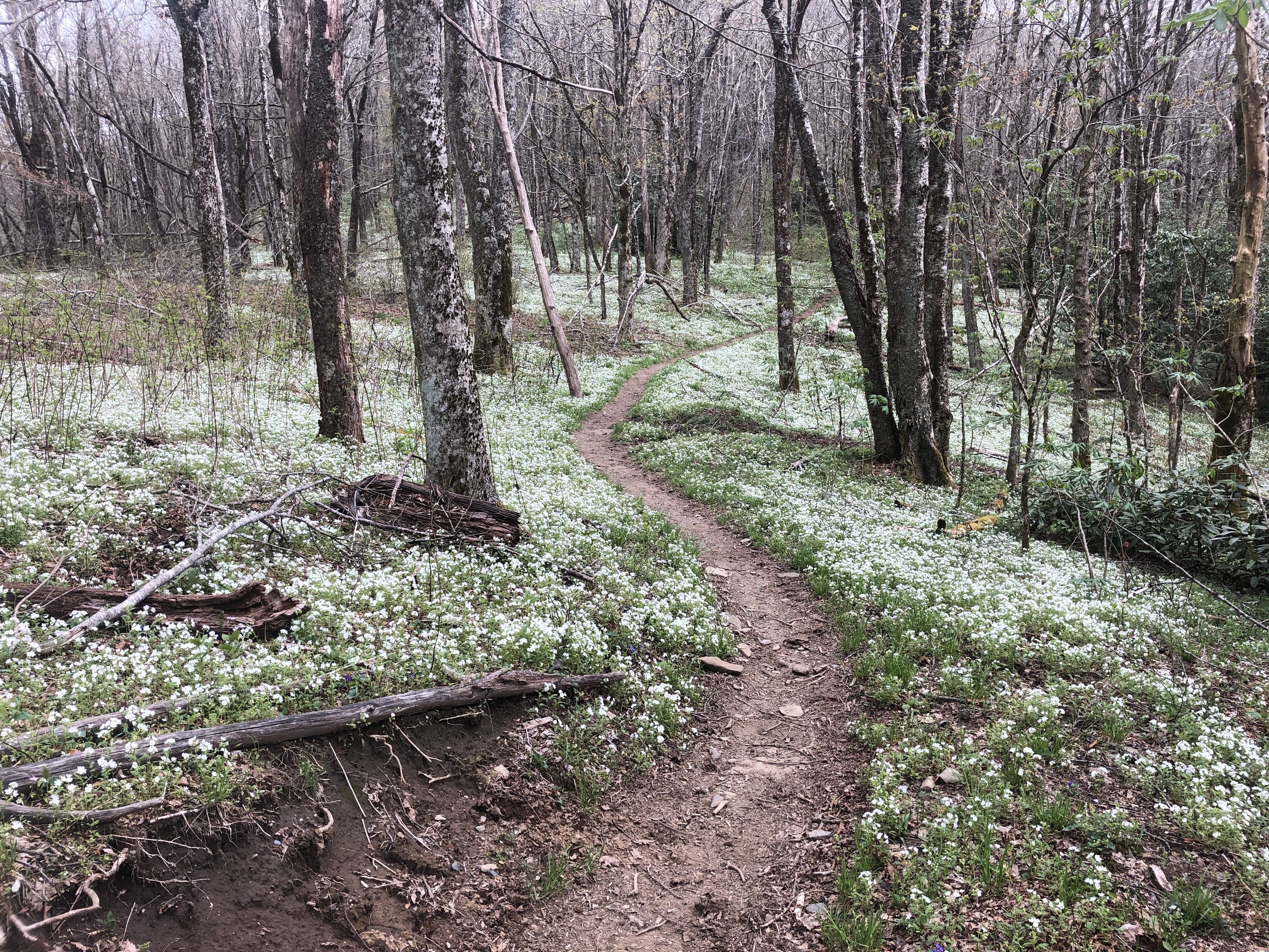
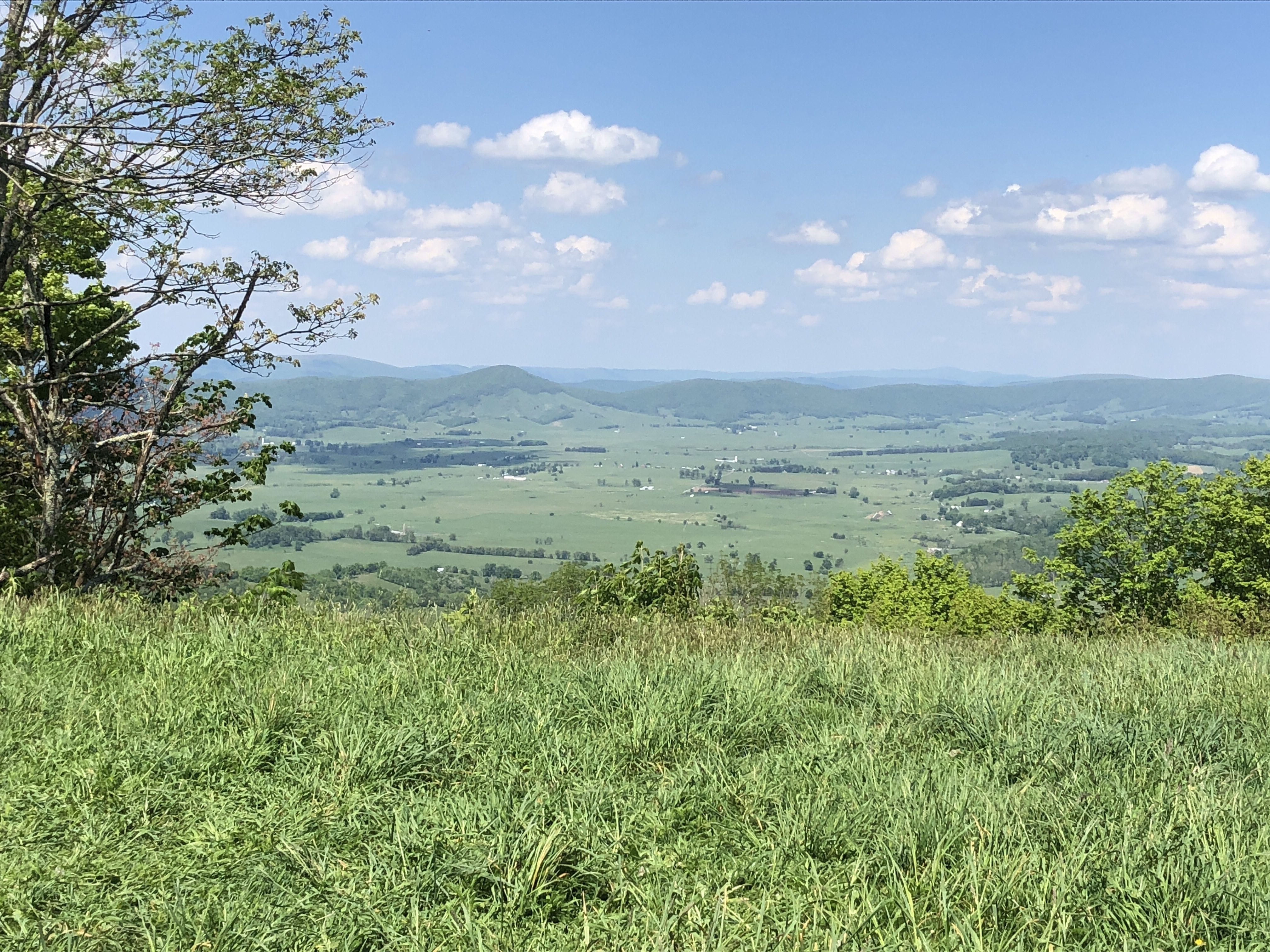
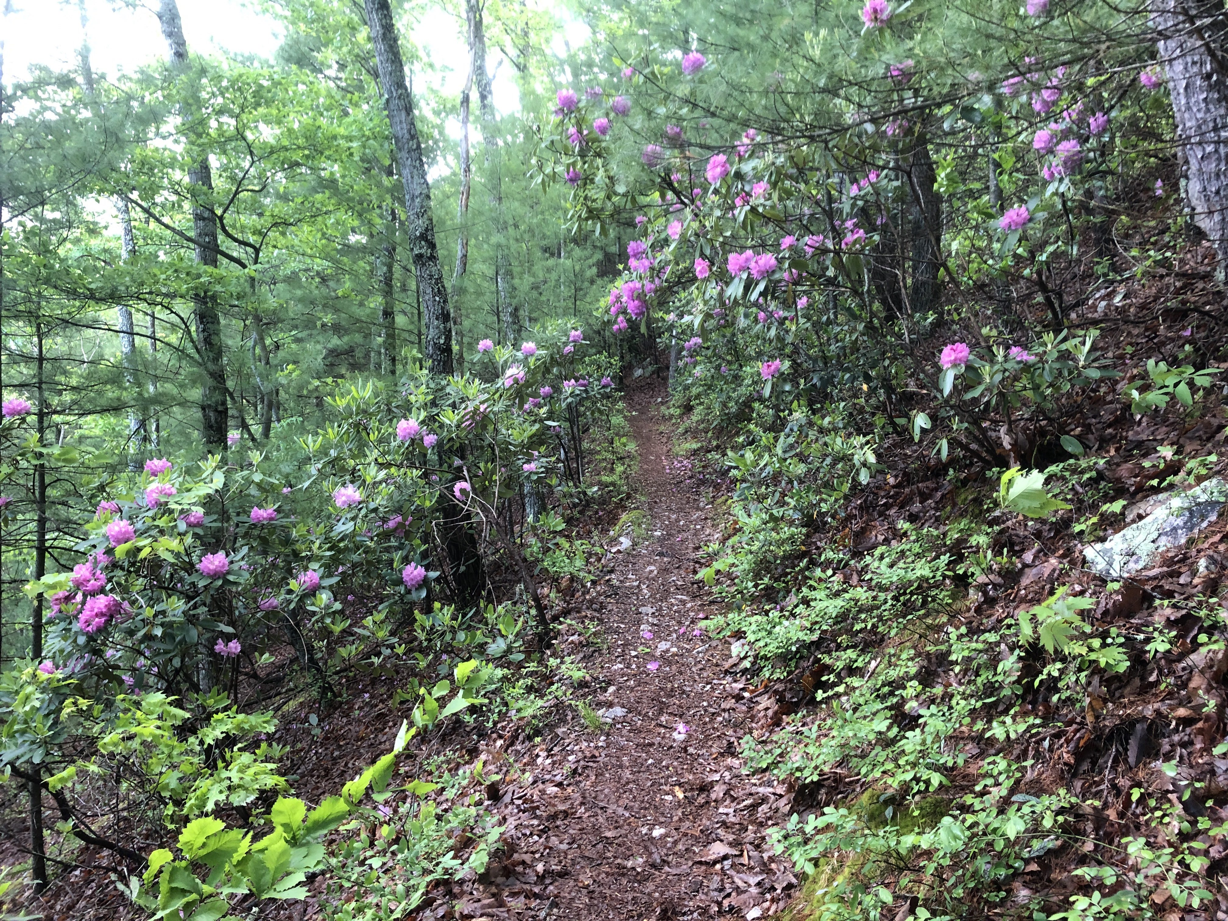
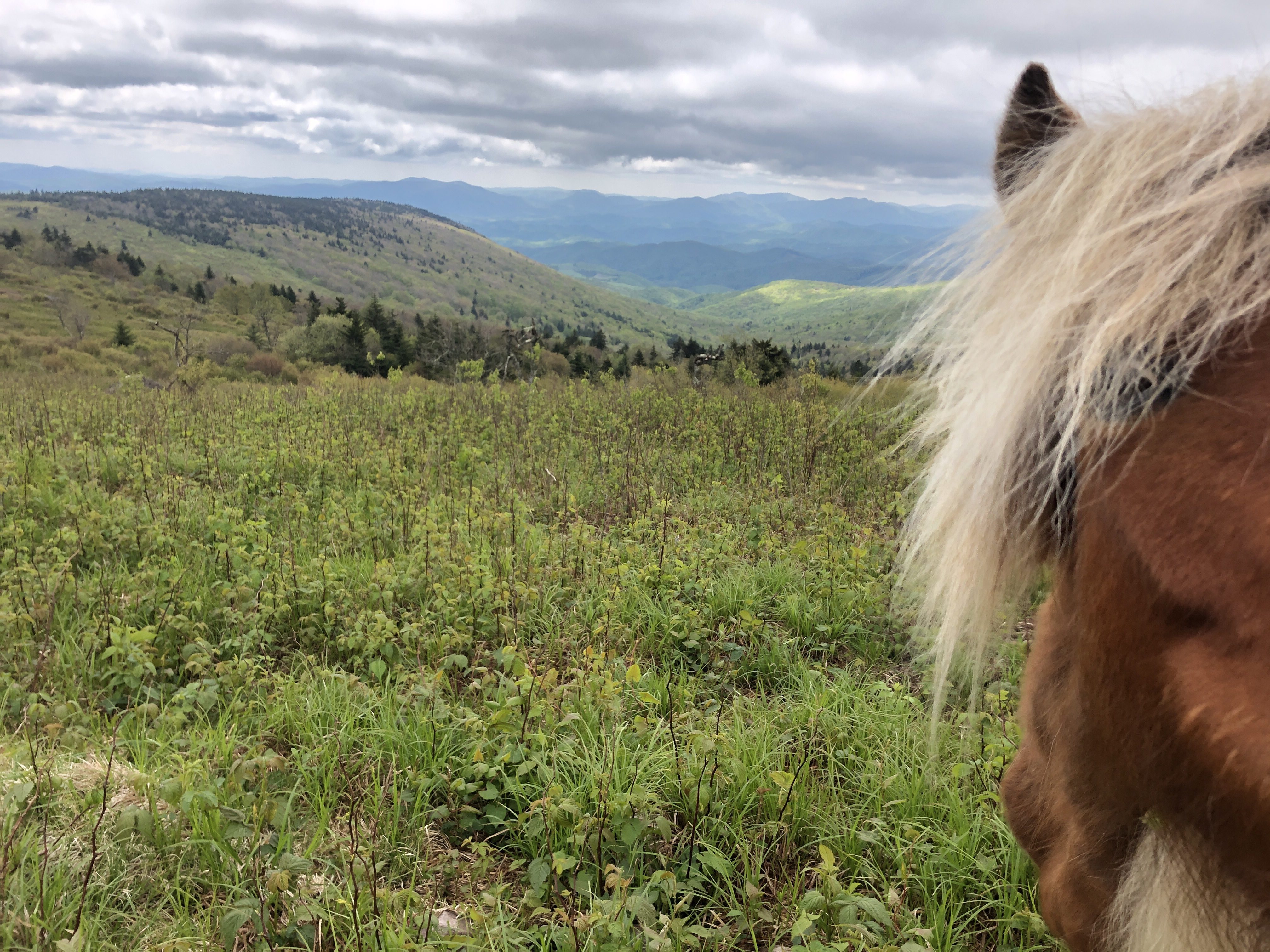
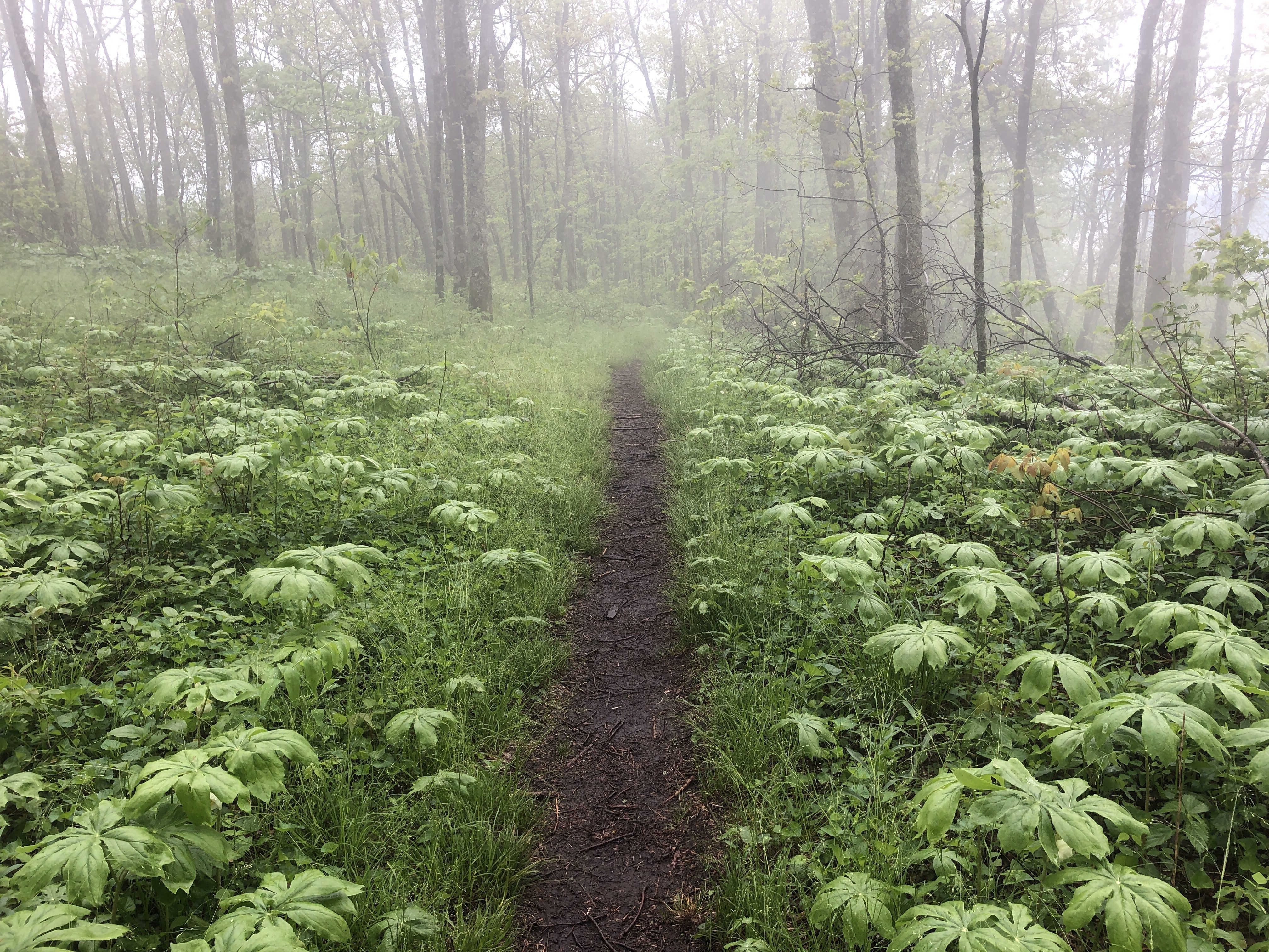
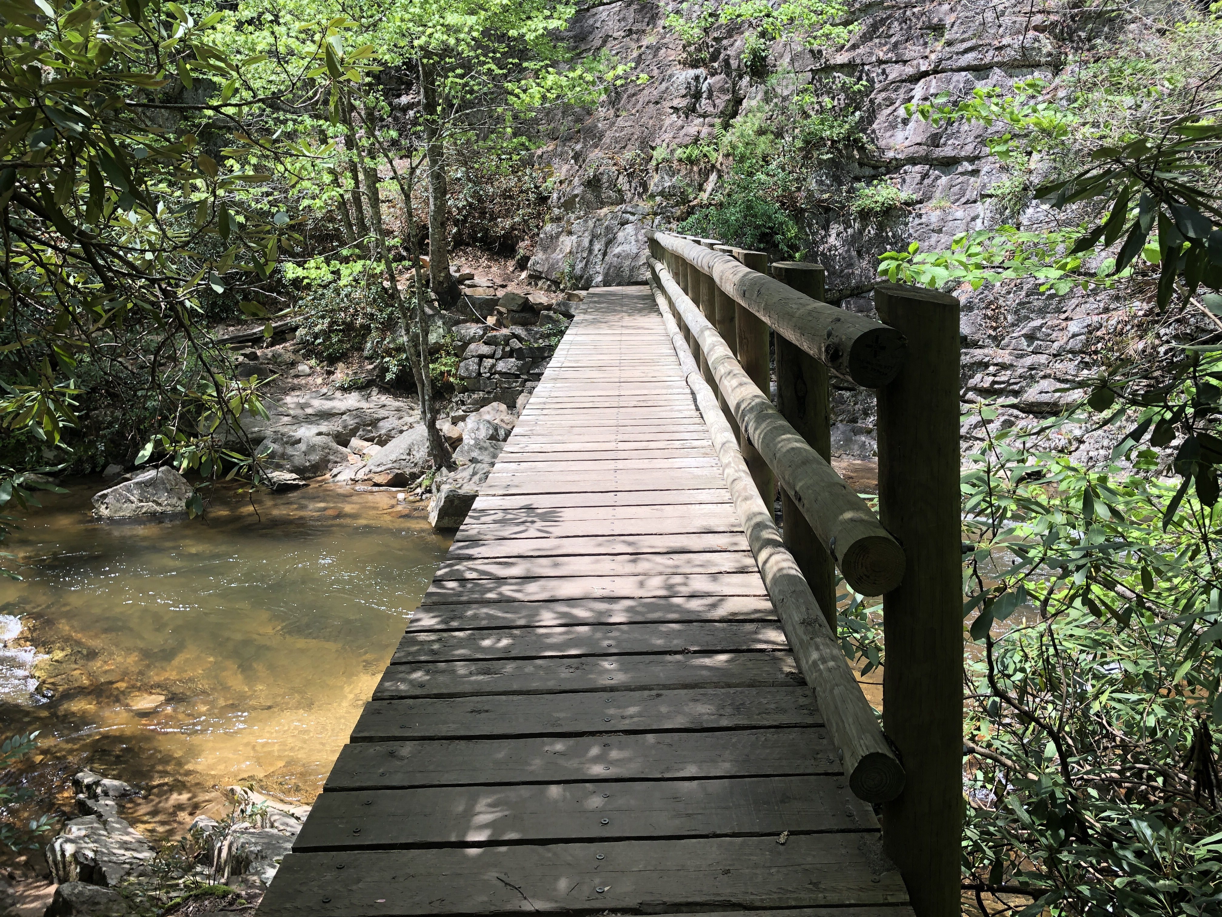
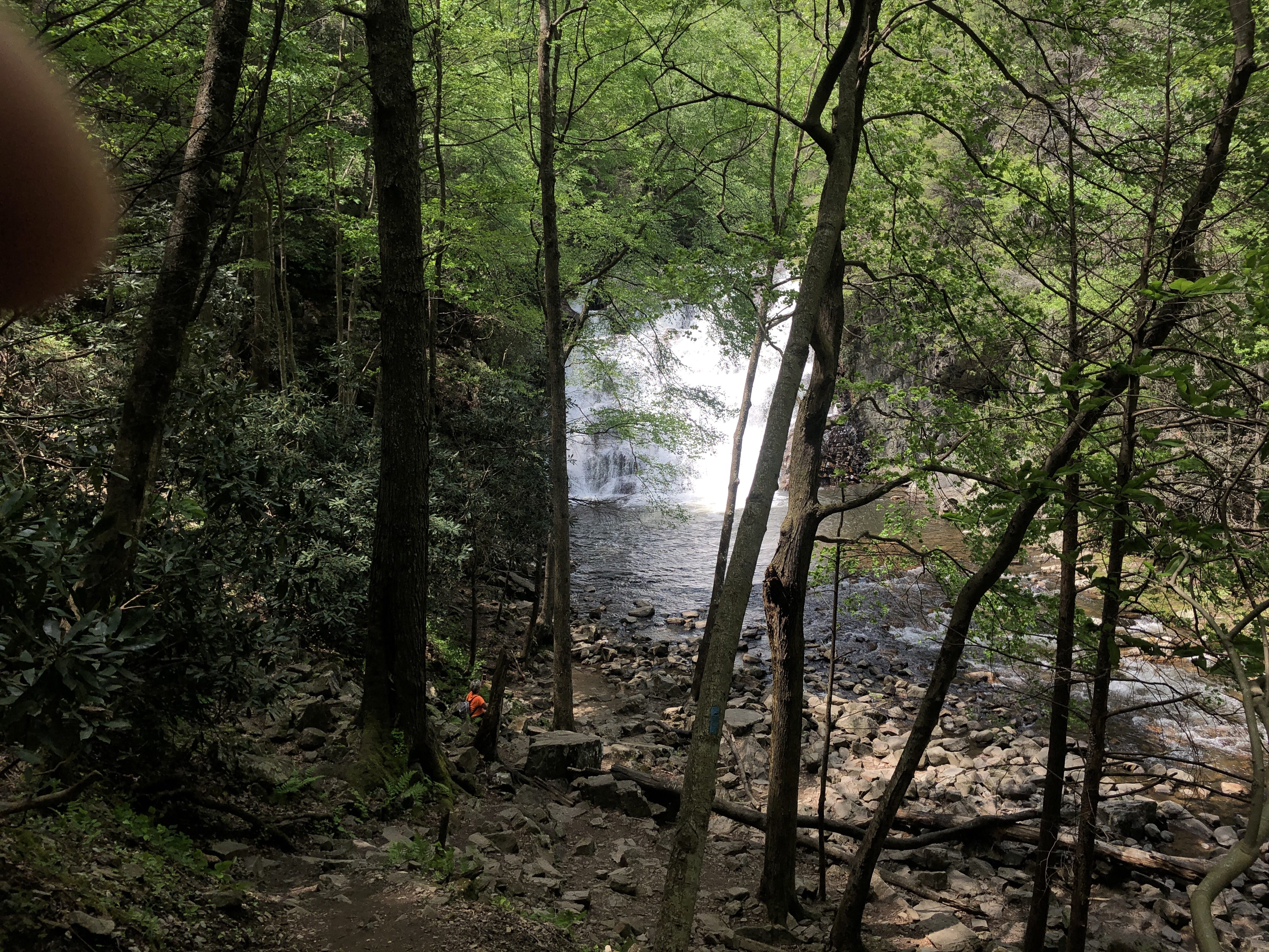
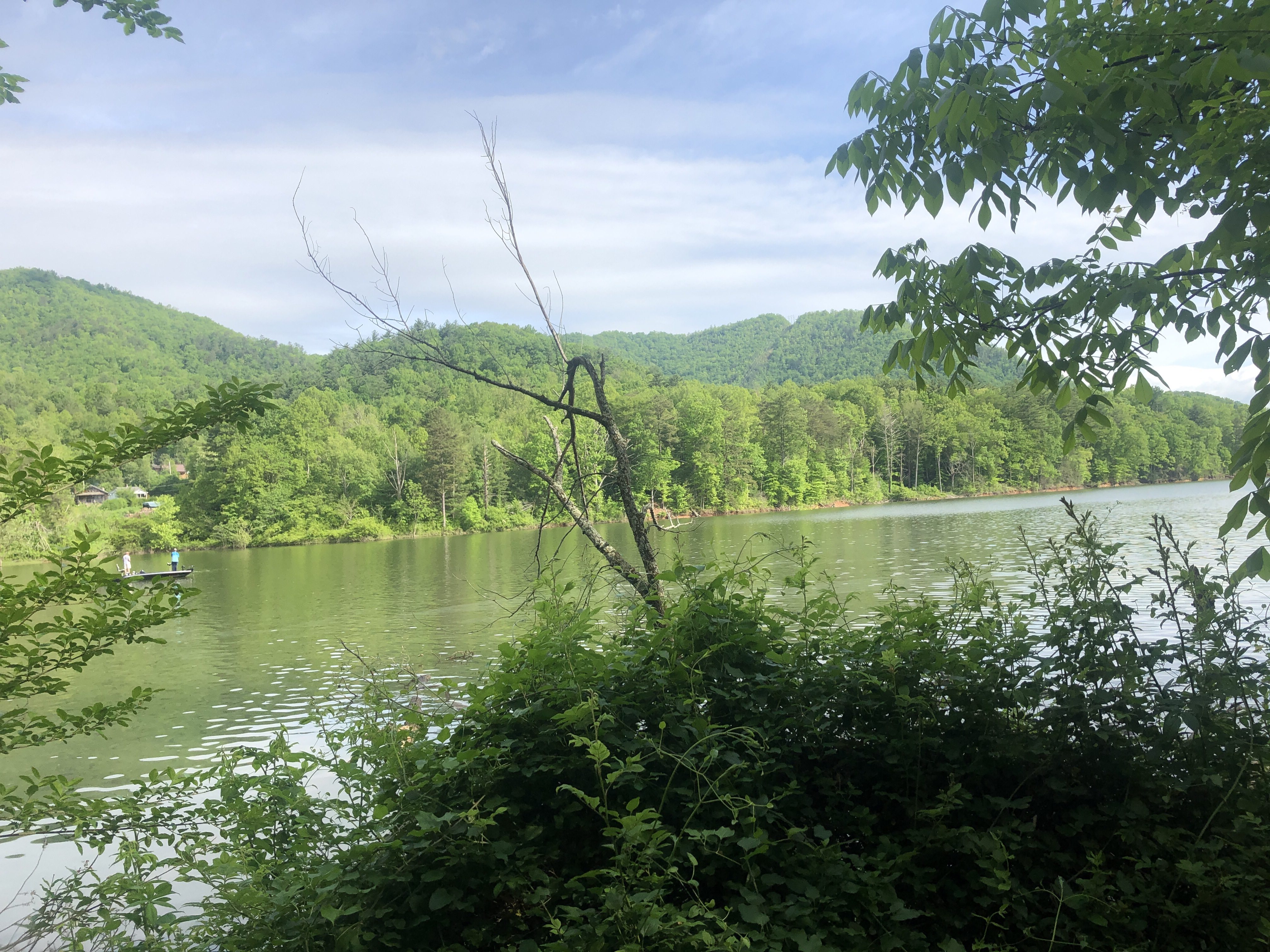
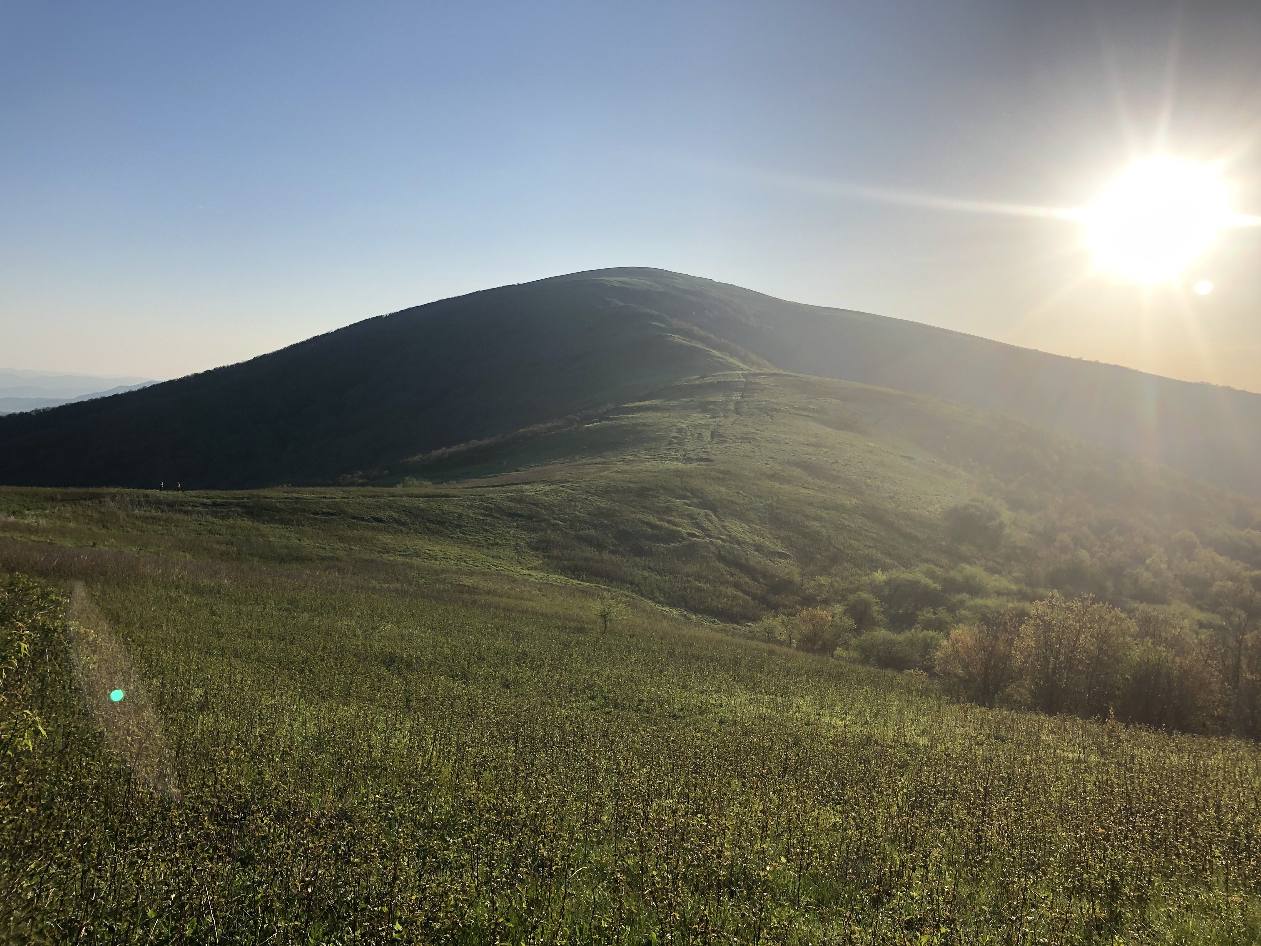
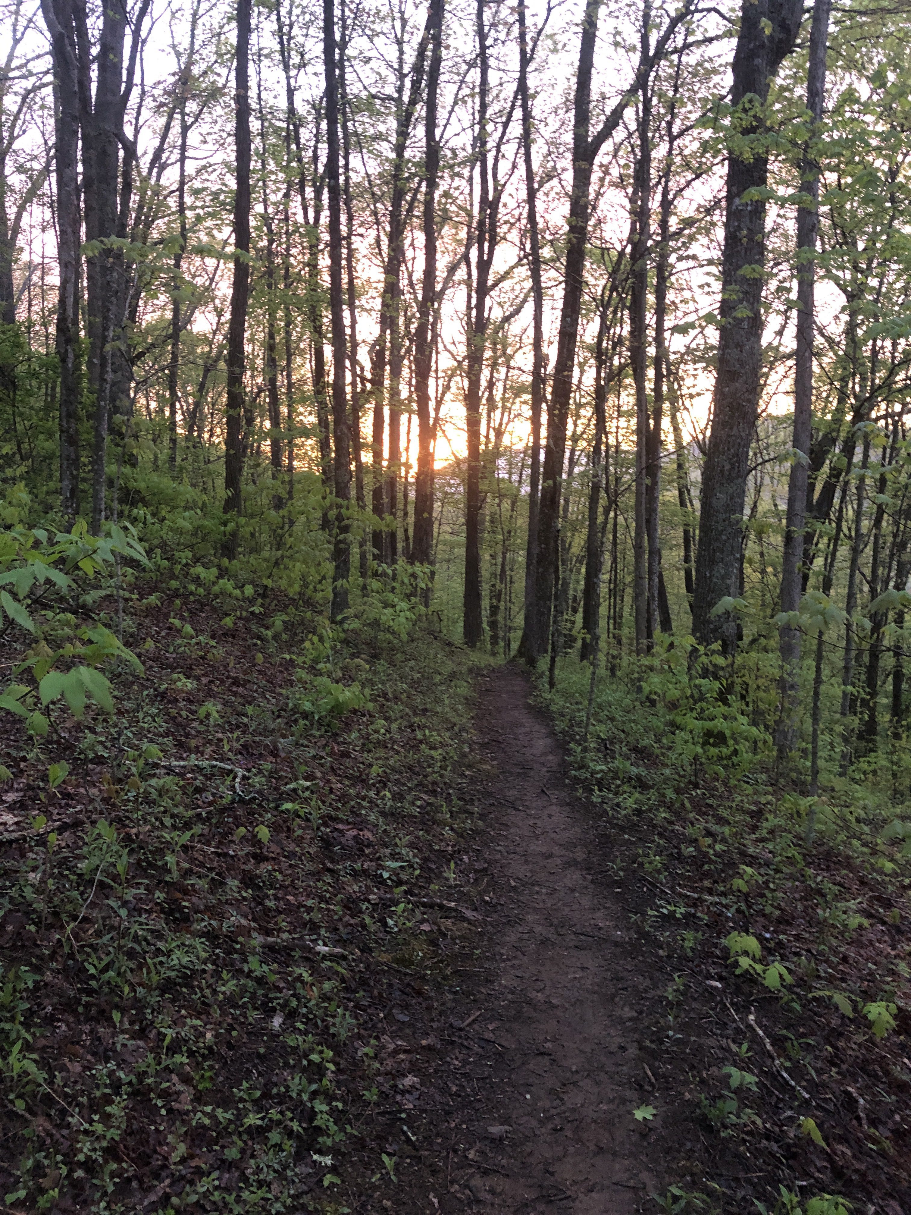
Everything is so green

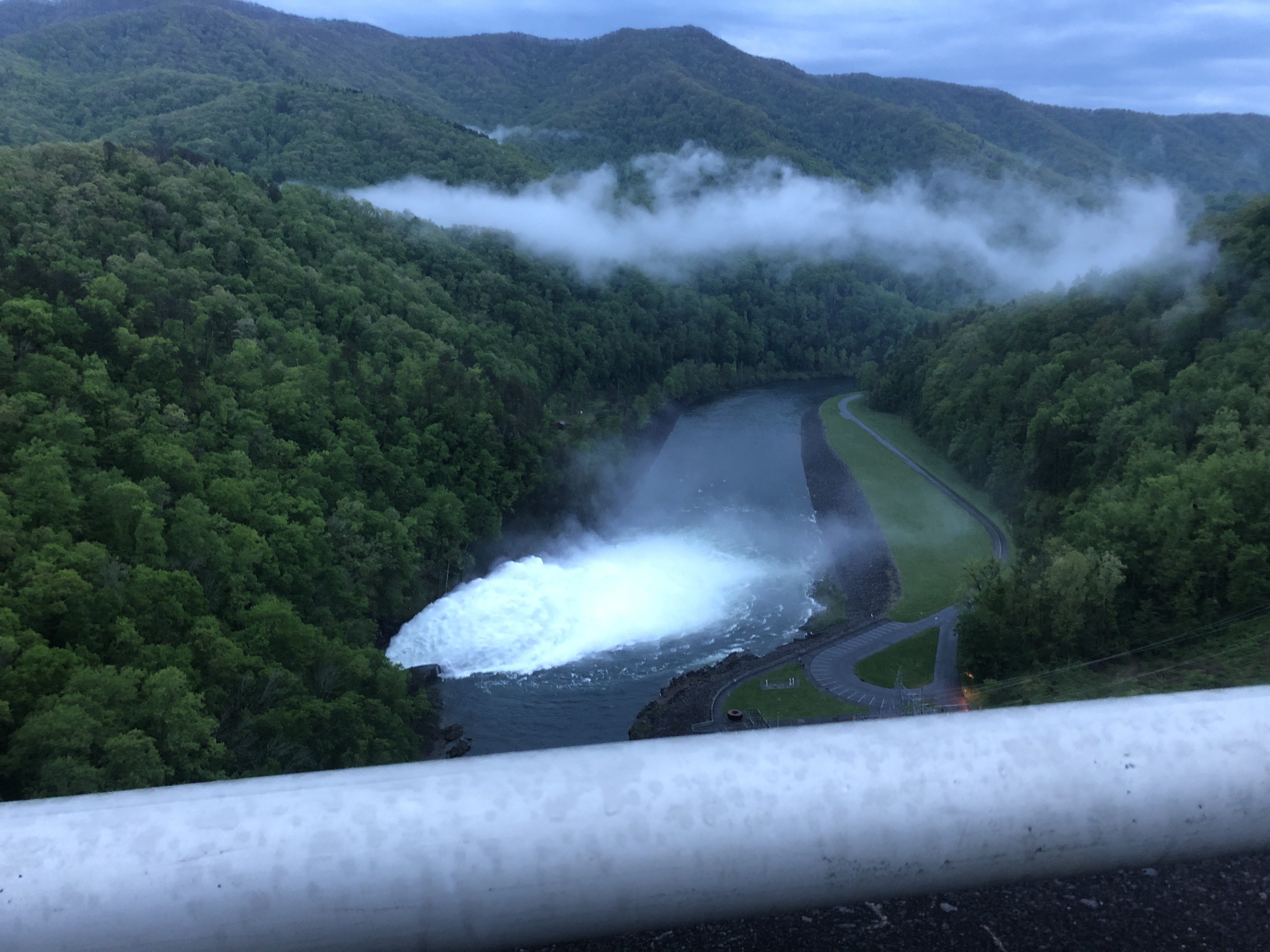
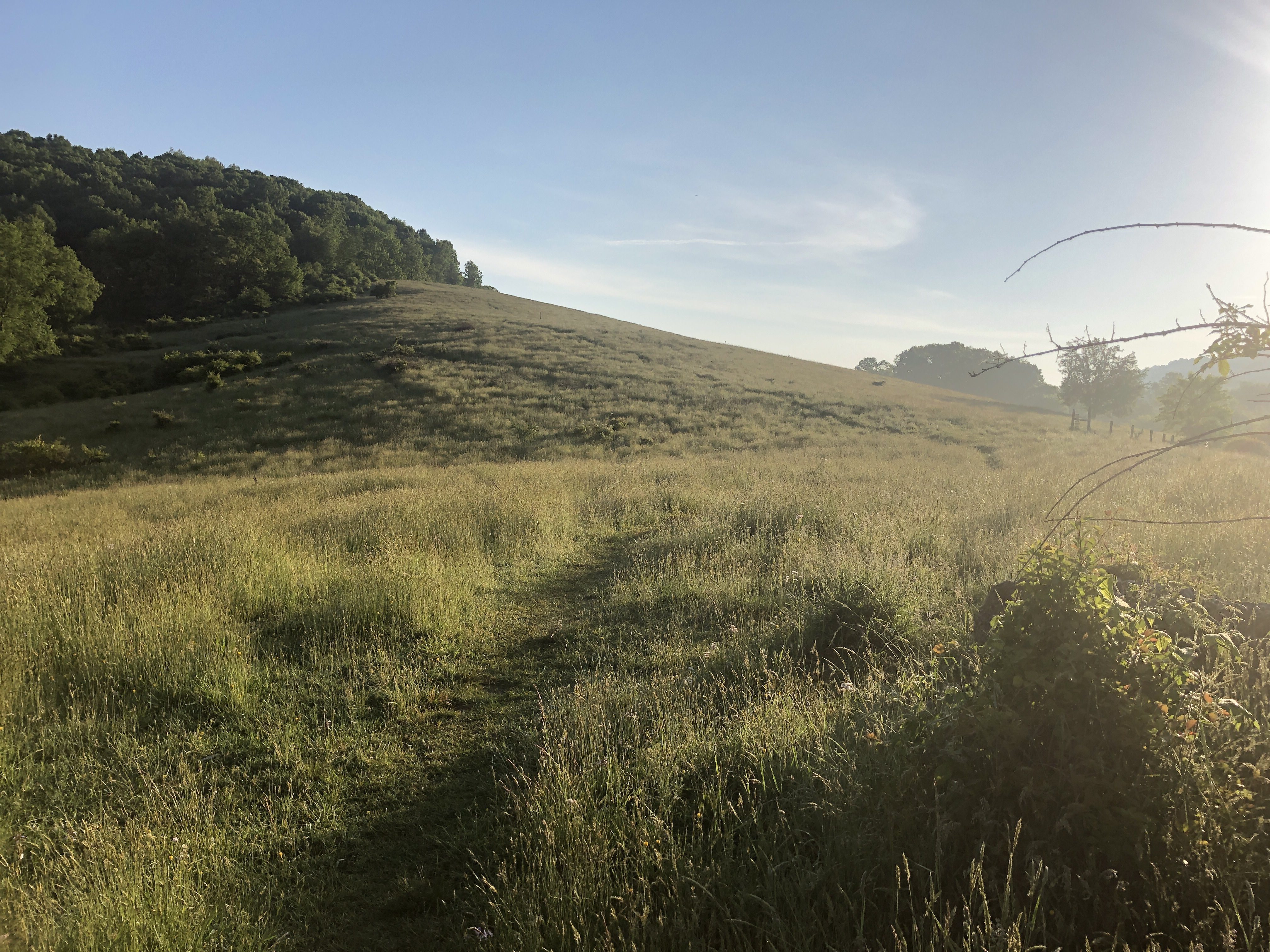
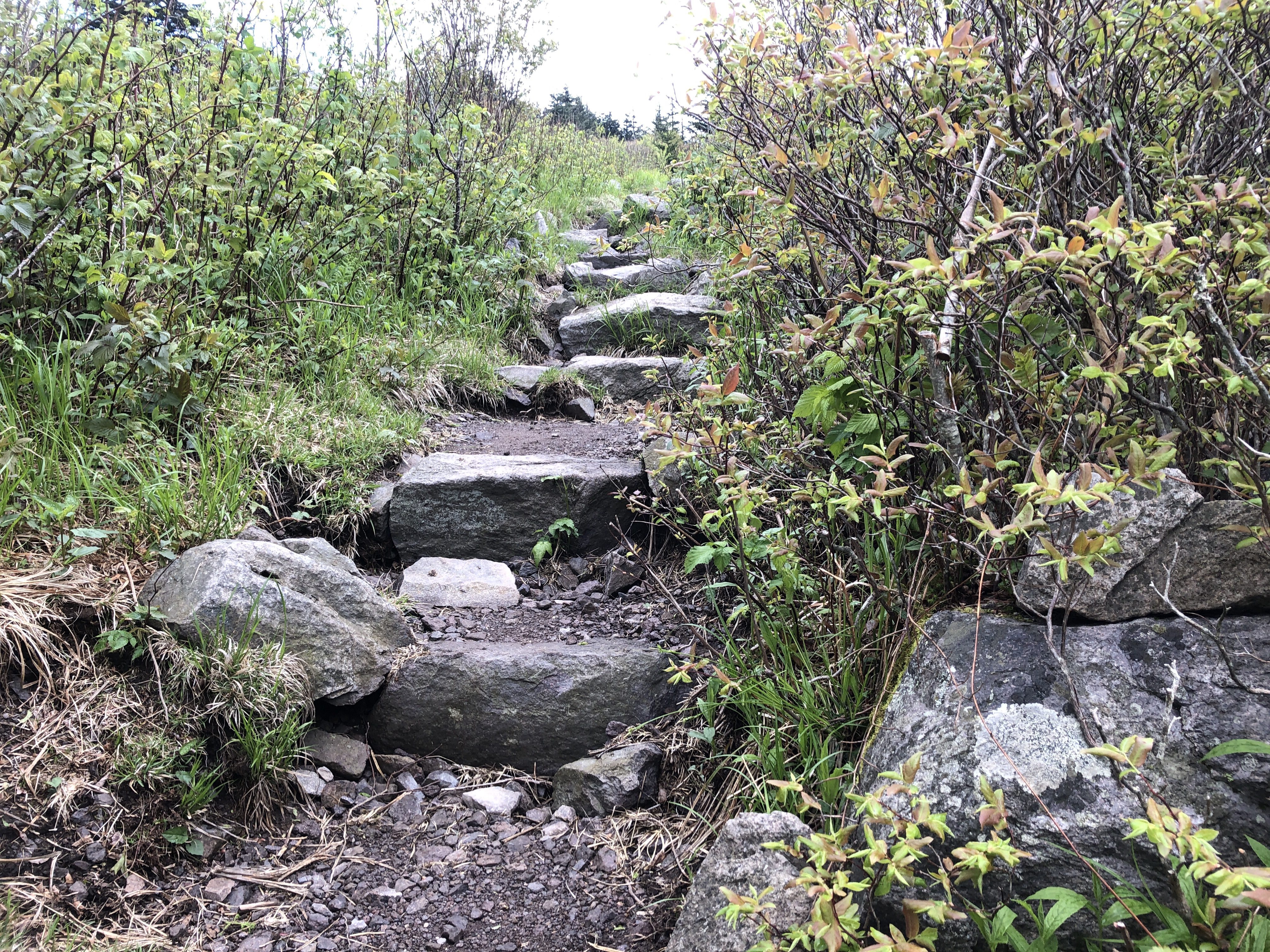
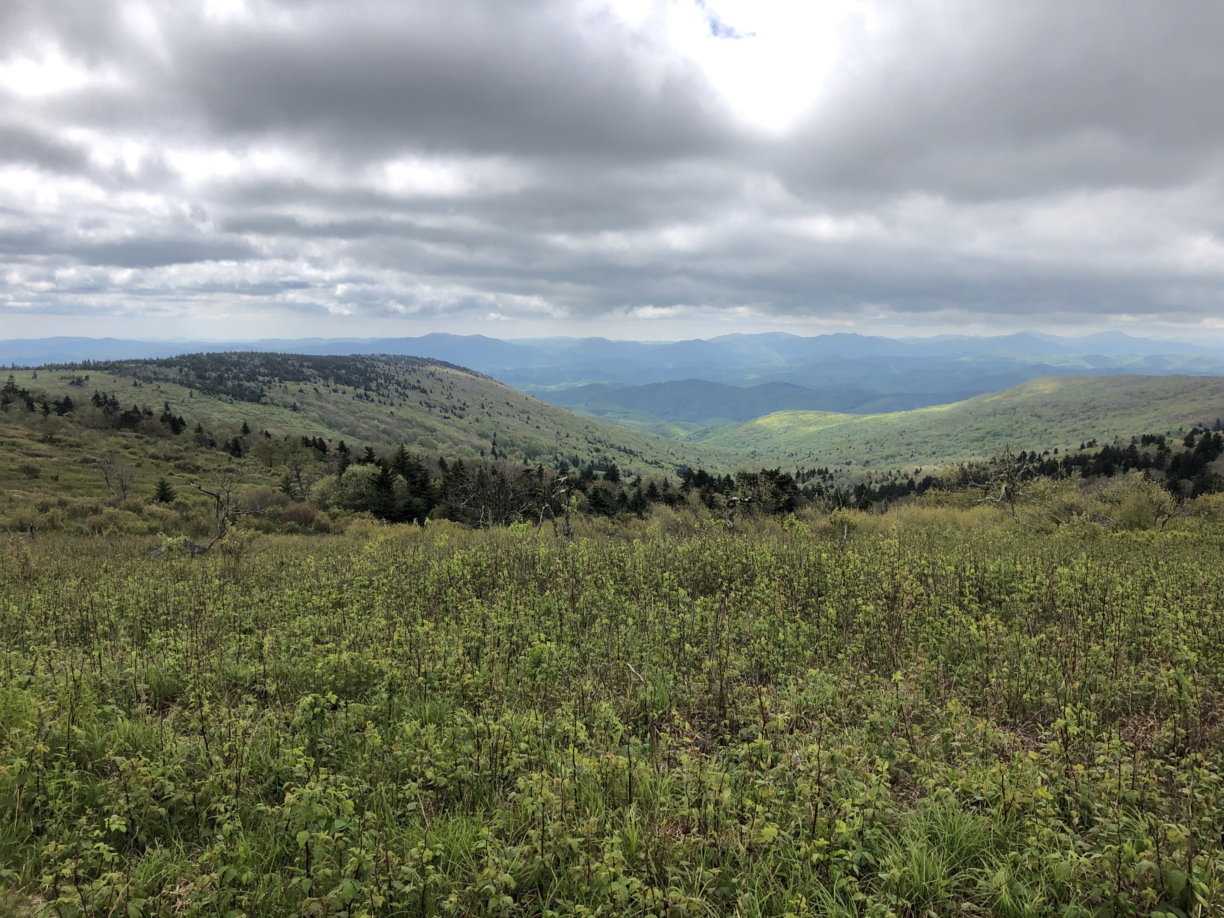
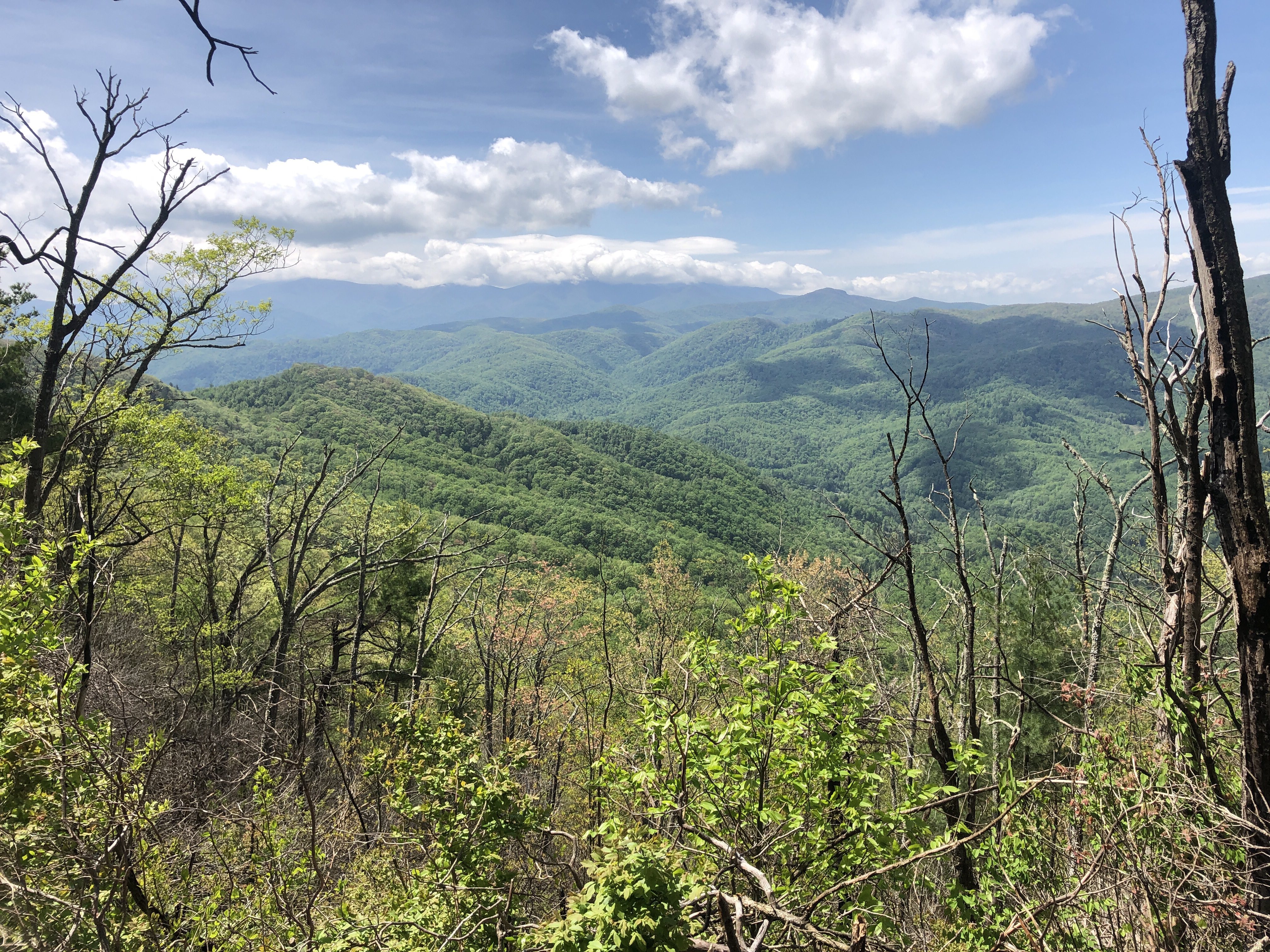
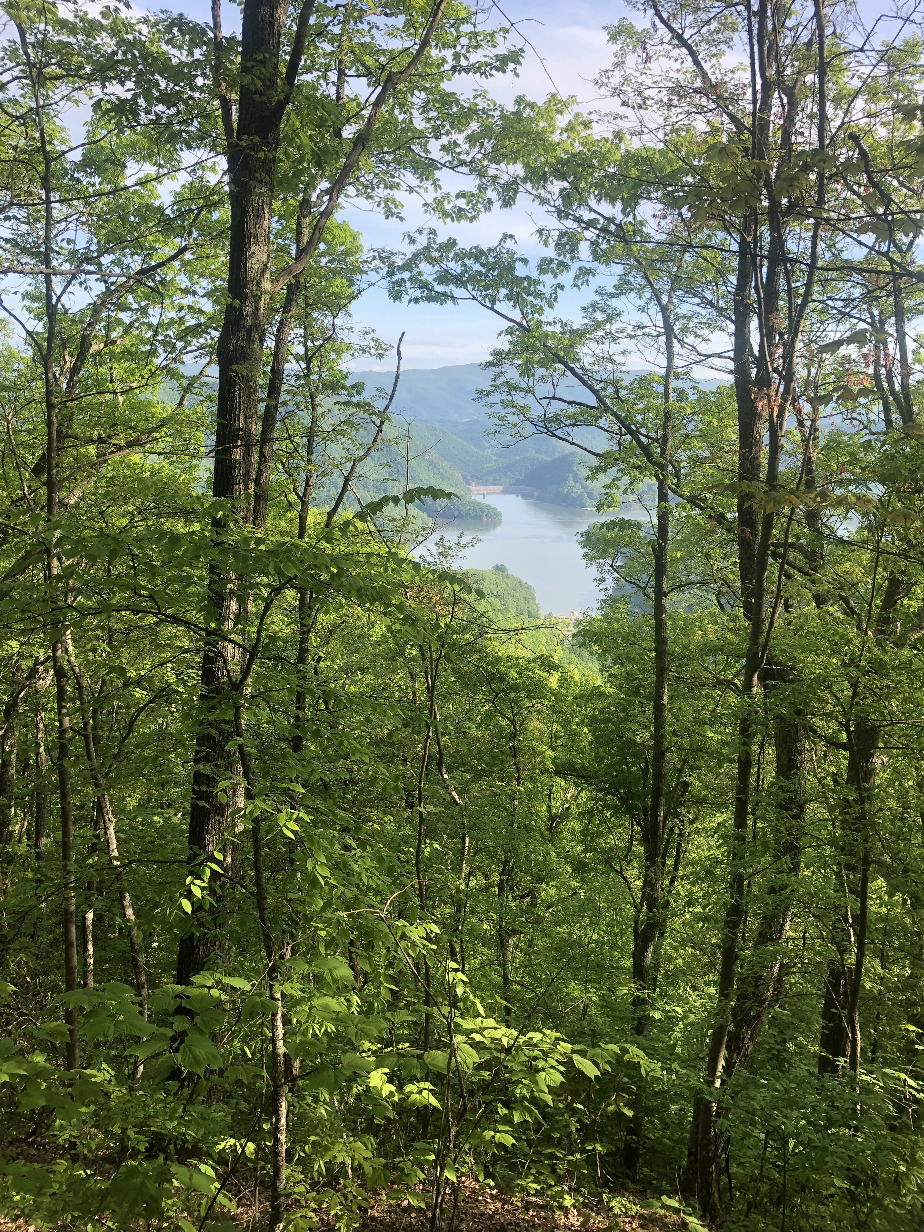
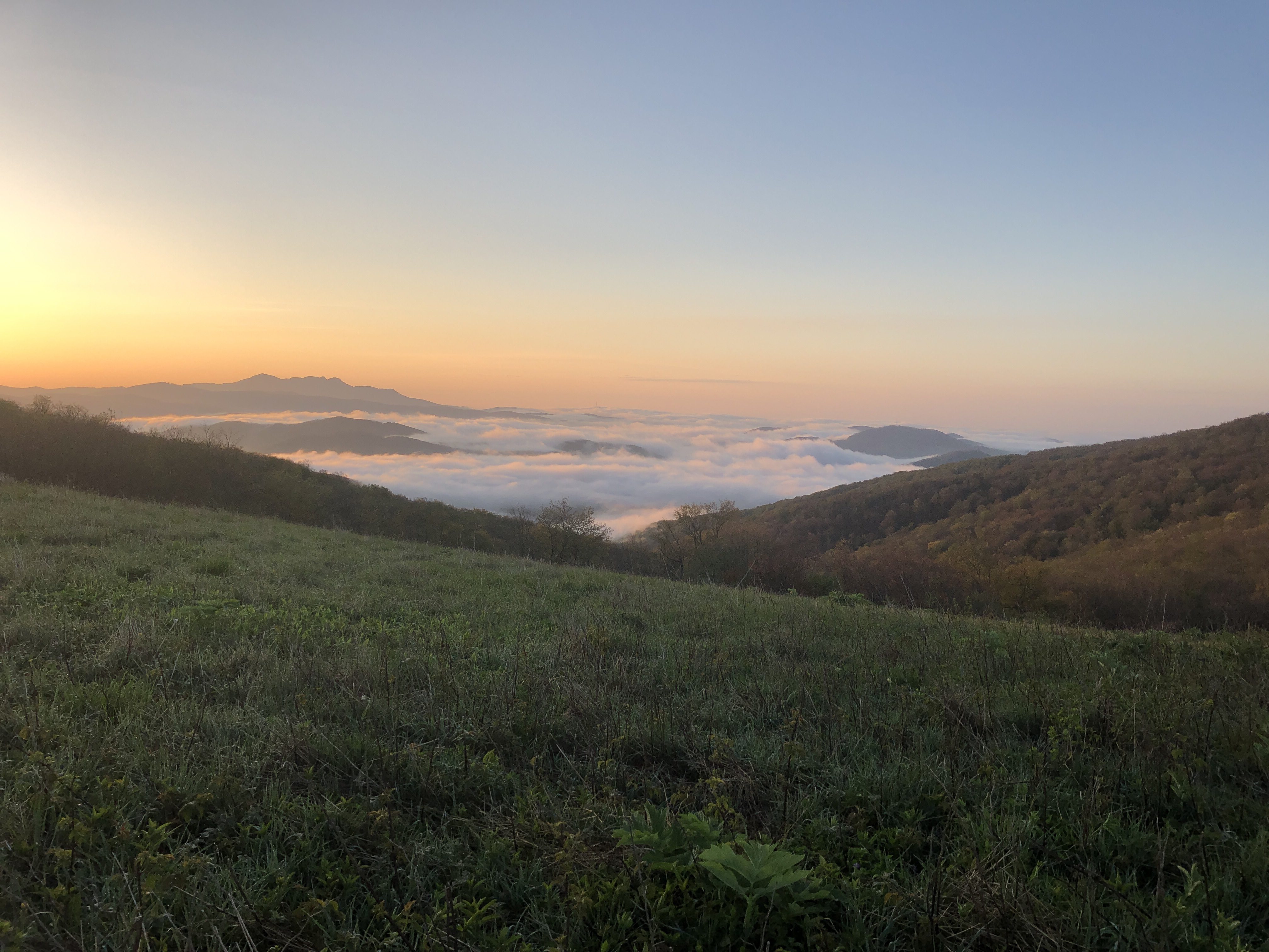
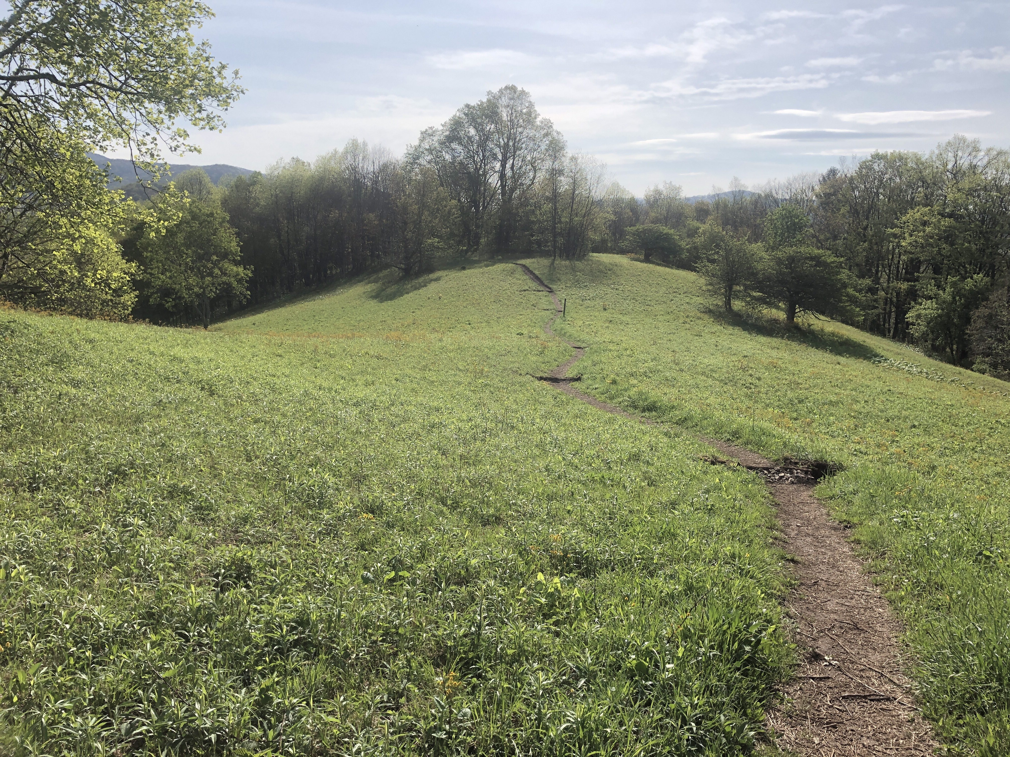
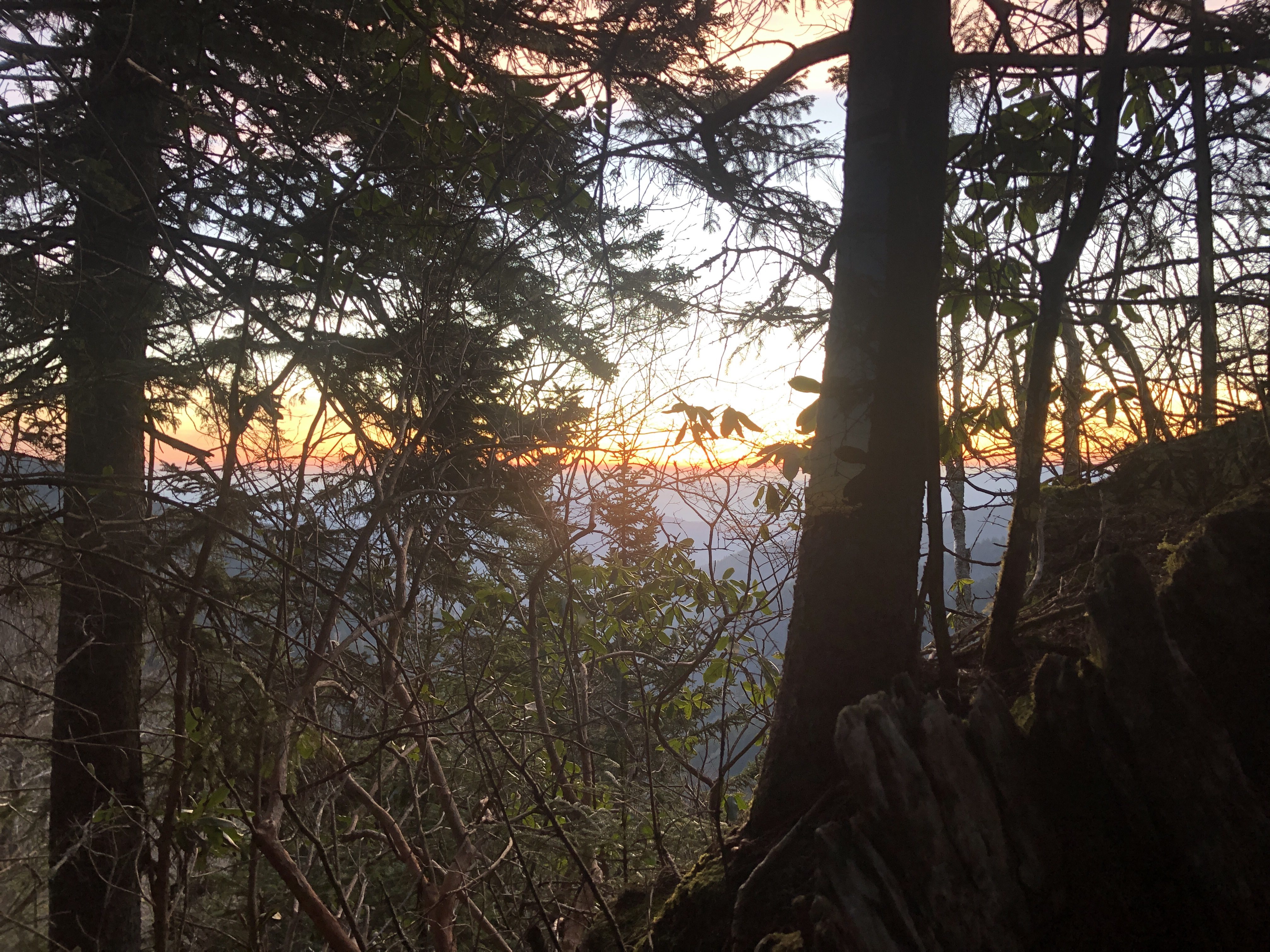
Another “Good morning sun”. Notice how high the trail is.
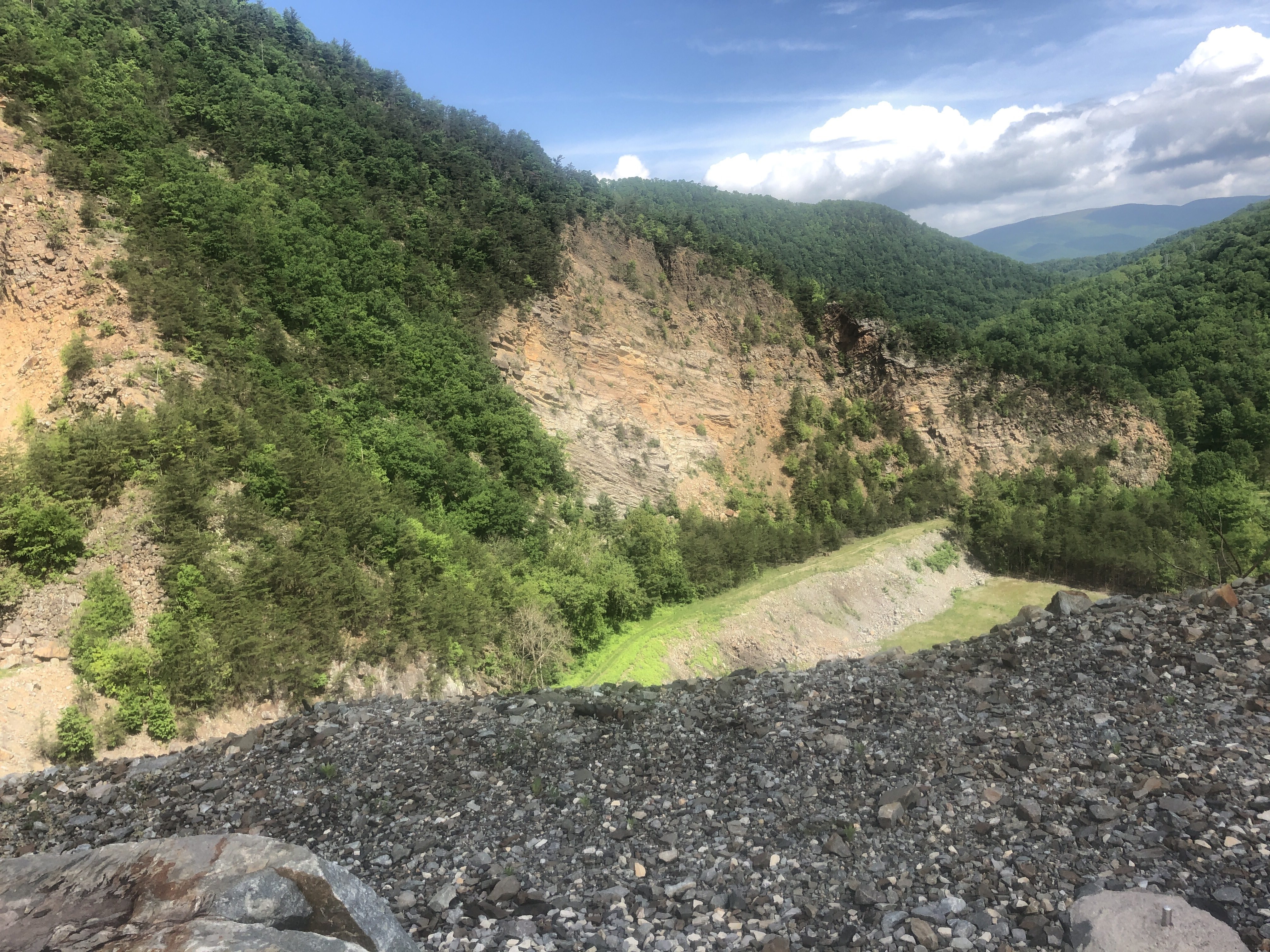
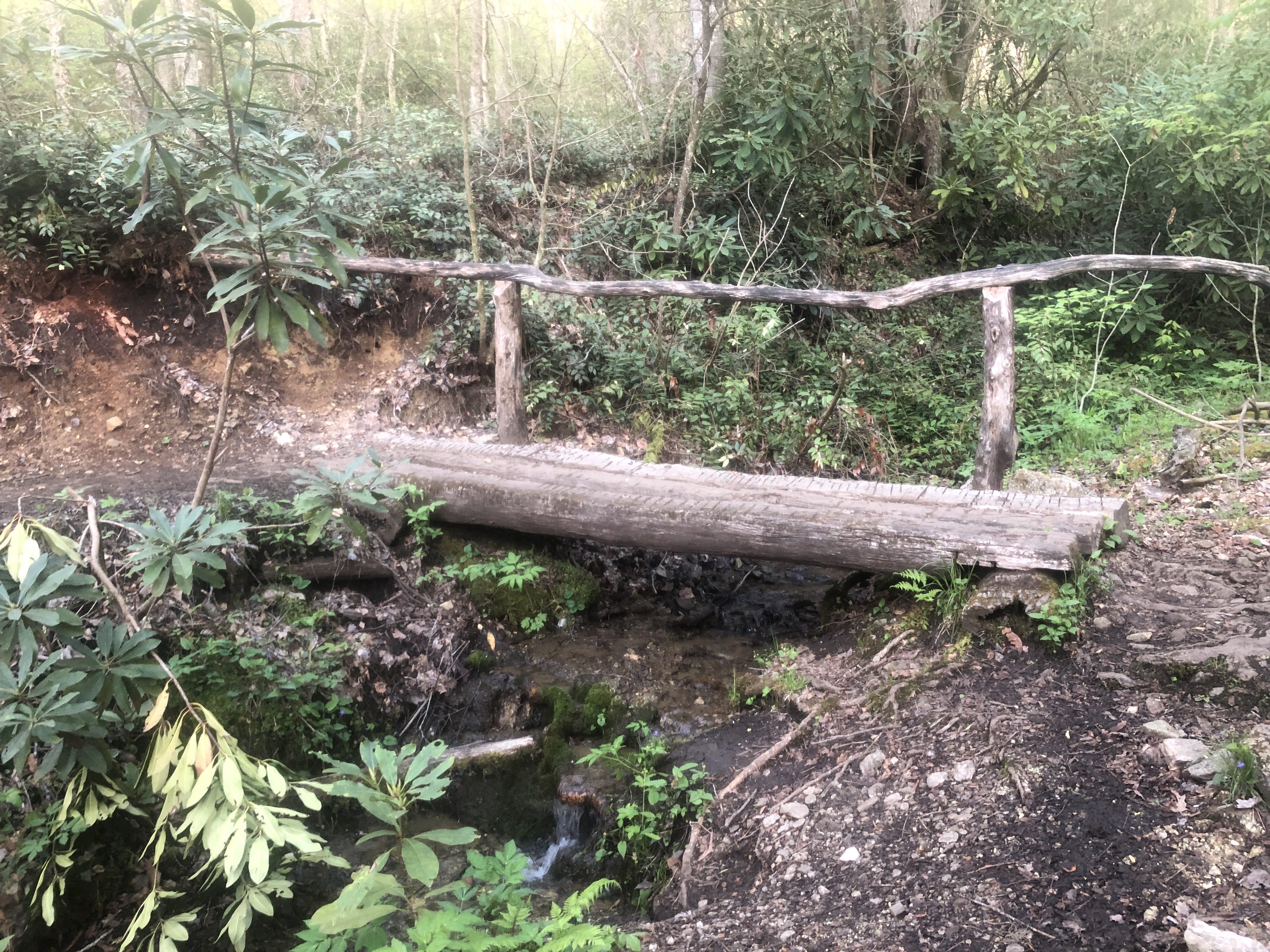
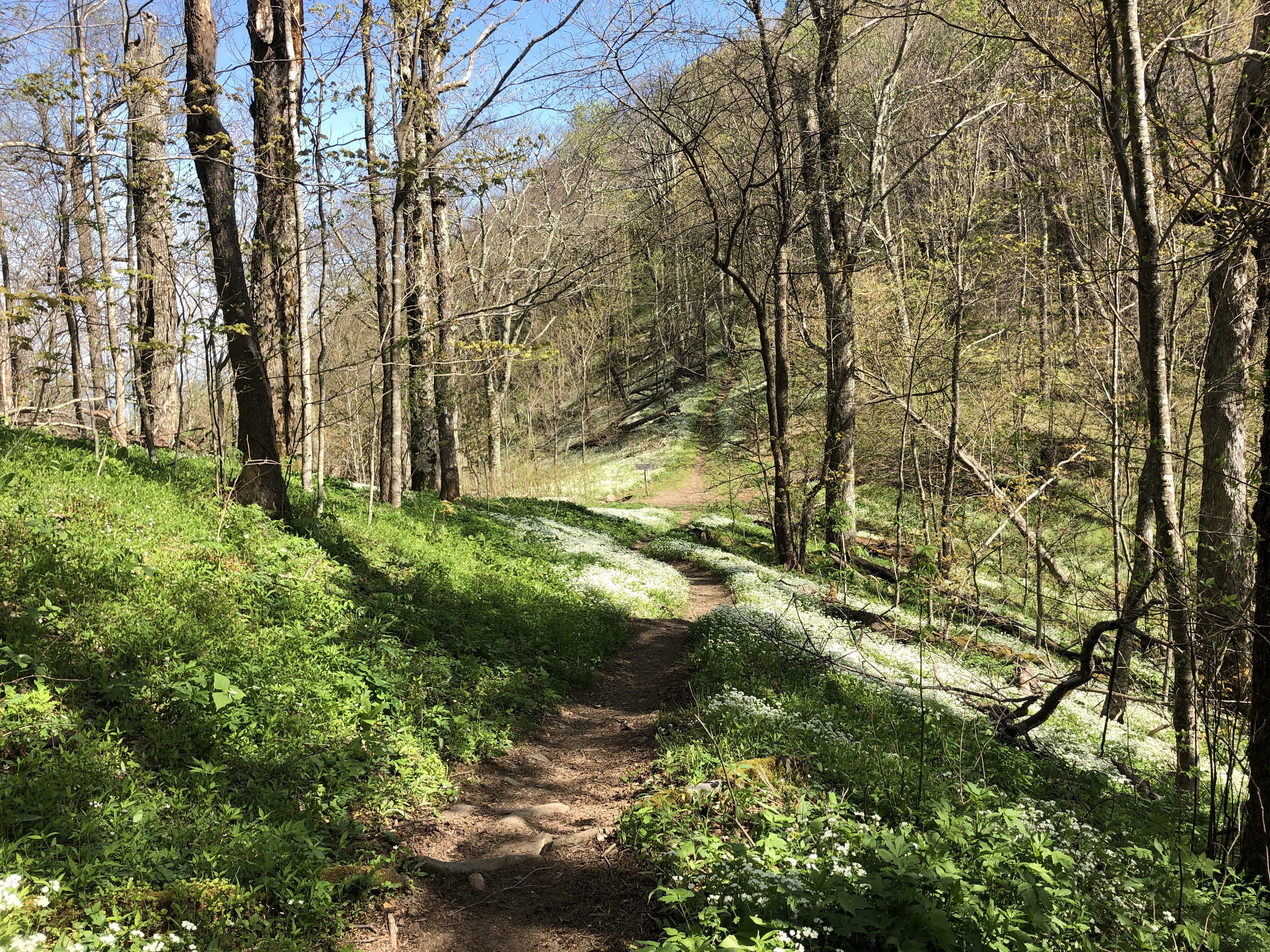
Down we go and then back up we go. All day long we climb thousands of feet and then descend to catch the next mountain.

Miscellaneous things

My AT thru-hiker tag I carry. My number is 2199. Yup, there at least 2198 other idiots trying to do the same thing
See the white blaze (rectangle) paint on the tree. They mark the trail. When I see one I say “On trail”
What can I say other than I’m smiling and it’s sunny for once
Zazzy cloth gaiters protect my shoes from capturing small stones and twigs
Going over Fontana Dam early in the morning as they release a torrent downstream
Entering the Great Smoky Mountain National Park. I have to have a special permit to camp and pass through it
Spring flowers along the trail are pretty