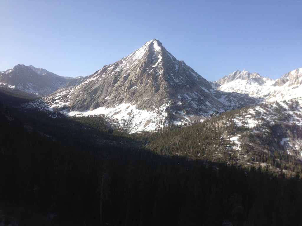
Mather Pass

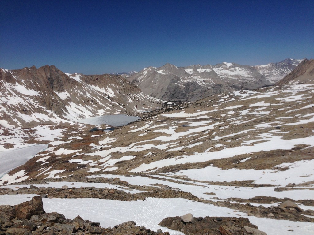
Each pass was a challenge. Each pass had snow on both the south and north sides. More snow was on the less sunny north side.

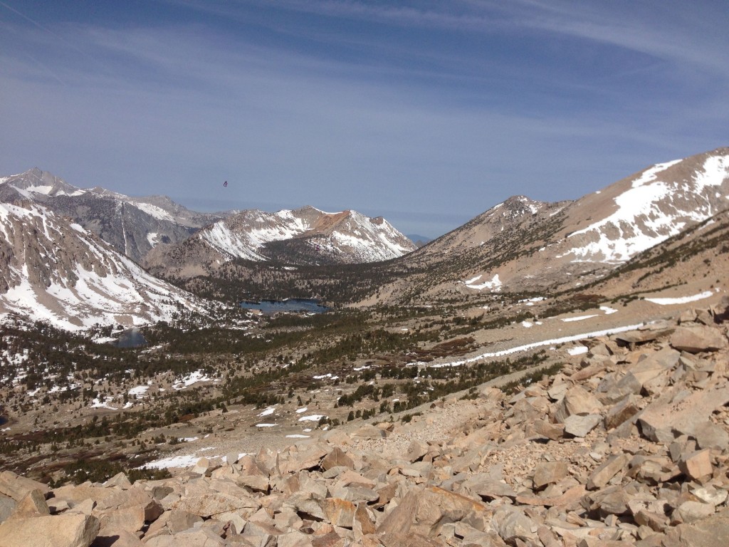
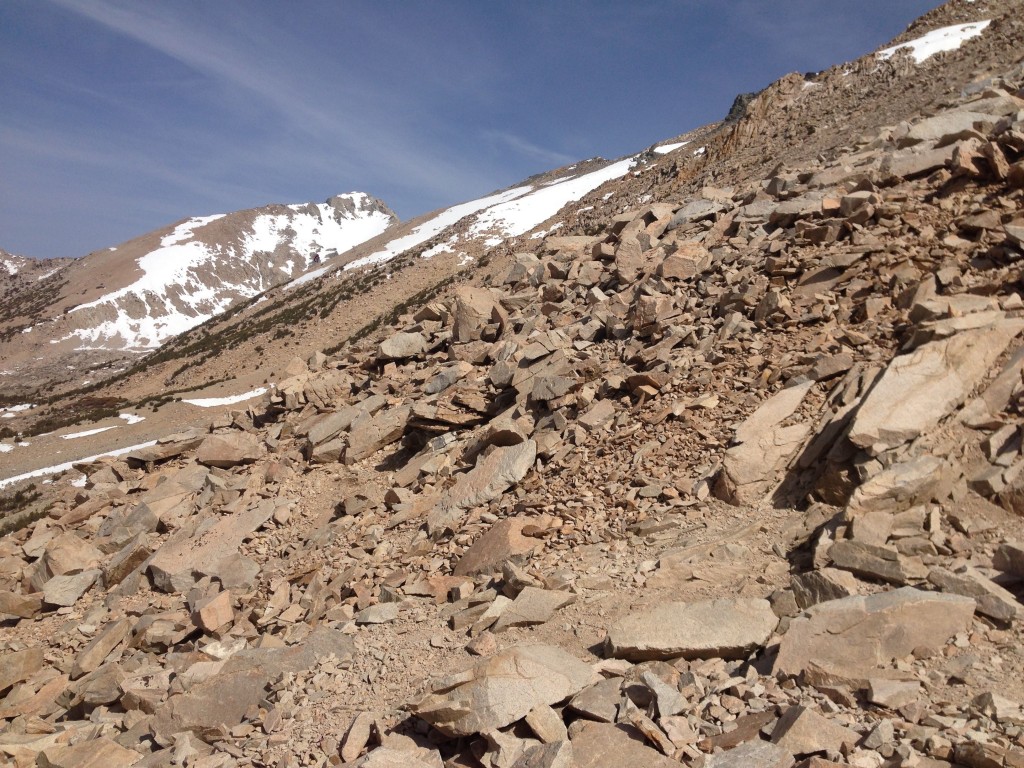
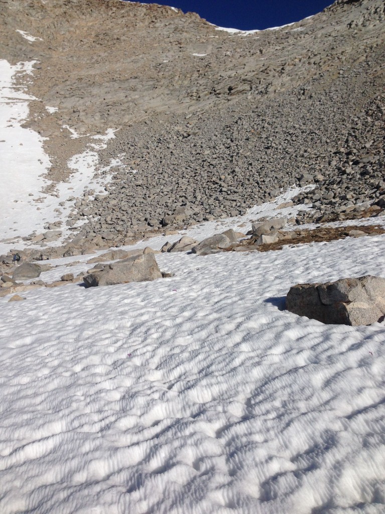
For Mather Pass I followed two other hikers who were climbing it. While climbing up the south side I was finally able to get to switchbacks that were relatively clear (on left side of picture below). As I approached the top the hiker in front of me leaned over and barfed on the trail. Eww! It was the altitude. We each react to it differently. Luckily I never had a problem that way.
IMG_0861

Stream/Creek/River crossings

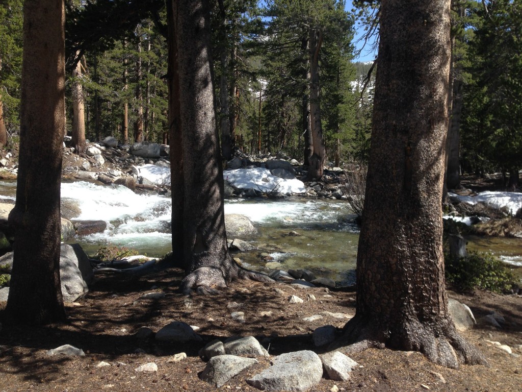
Fording a stream, creek, or river is quite stressful. If you fall you could get hurt, you’ll definitely get soaked, and your pack will get soaked too. A soaked hiker is a cold hiker and you need to worry about hypothermia. Most are just little streams, but some are full rapids. Did I say they are STRESSFUL! Right now I’m camped beside a raging river which hopefully tomorrow morning will be less raging. My shoes are wet and they don’t have time to dry by morning. So I just assume they’ll be wet all day long.

IMG_0860
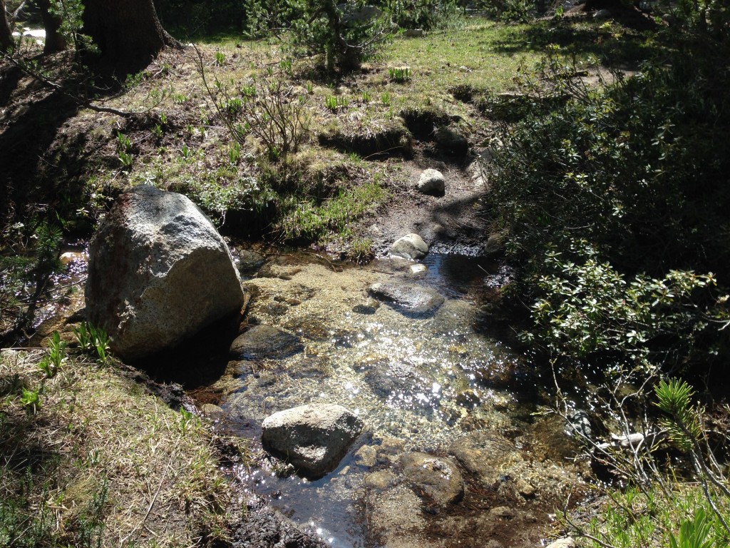
Simple to cross
IMG_0859
More of a challenge since I had to wade this one

Update: The next morning the raging river was still raging. Although I was told that in the morning the river would be lower, because the source above would be frozen, this was not the case. I should have crossed it the night before. Oh, and my shoes were frozen solid which made getting them on very difficult.

Heading to Pinchot Pass

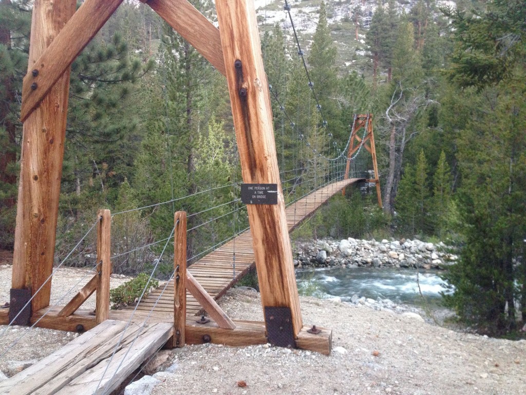
I didn’t take any pictures of Glen Pass. After the pass this is a suspension bridge over the Wall river that was just rapids. I slept here with two other hikers, Ninja Tank and Random. The rapids were continual white-noise.

IMG_0856

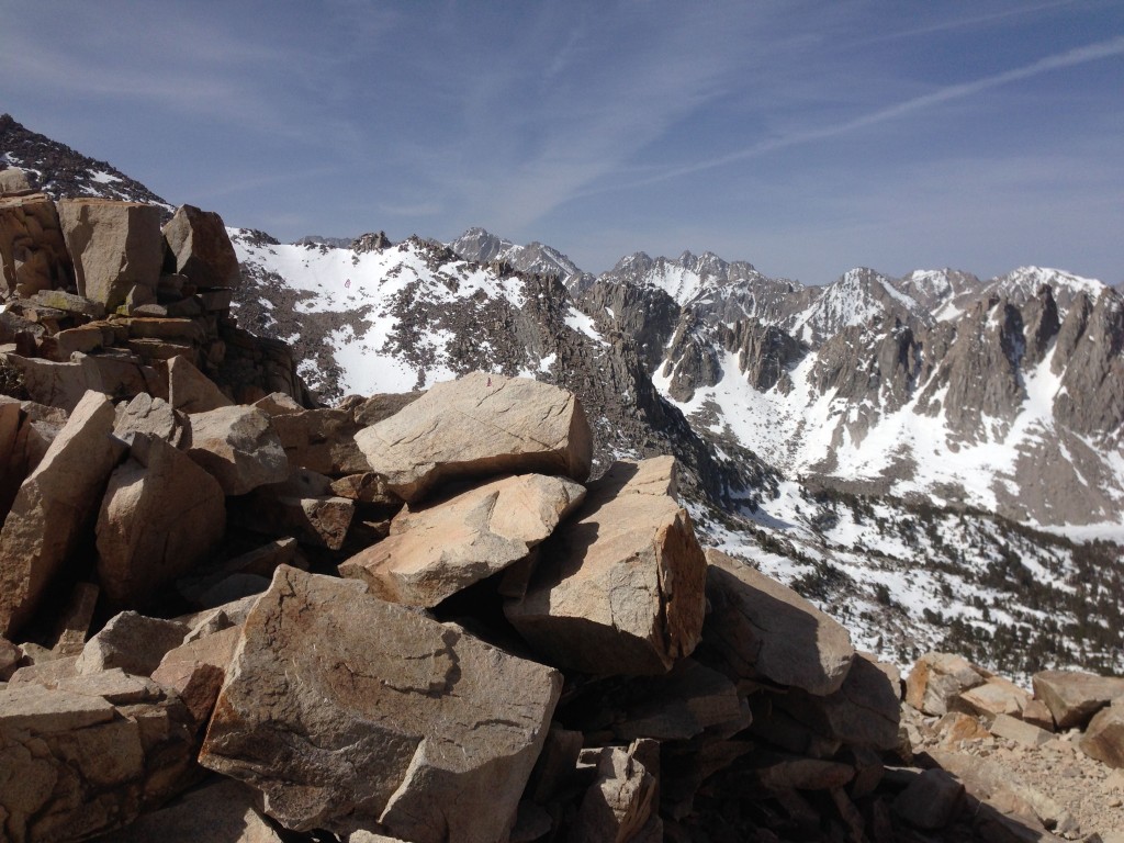
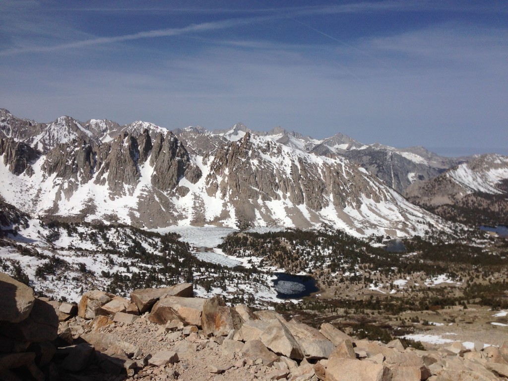
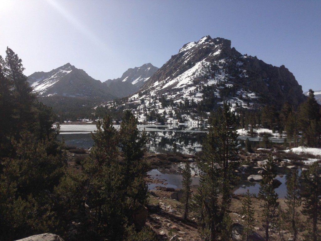
A scenic view: At top of Kearsarge Pass

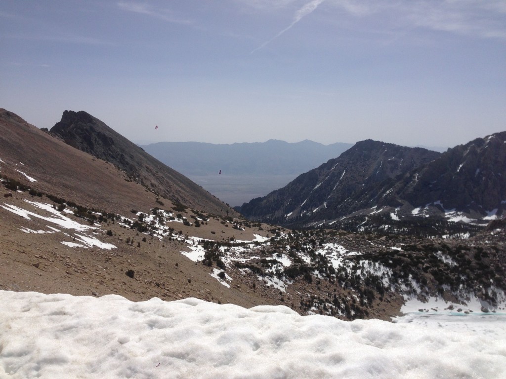
At the pass, the first ones are toward the PCT which is 3.5 miles below. Note: Bullfrog Lake is below with the clear edges and icy center.

Panoramic image

IMG_0851_to_0854_panorama_EDITED

Individual images

IMG_0851

IMG_0852

IMG_0853

IMG_0854

The second one is towards the valley where I had to hike 5 miles to the trailhead and get a hitch 15 miles to Independence CA.

IMG_0855