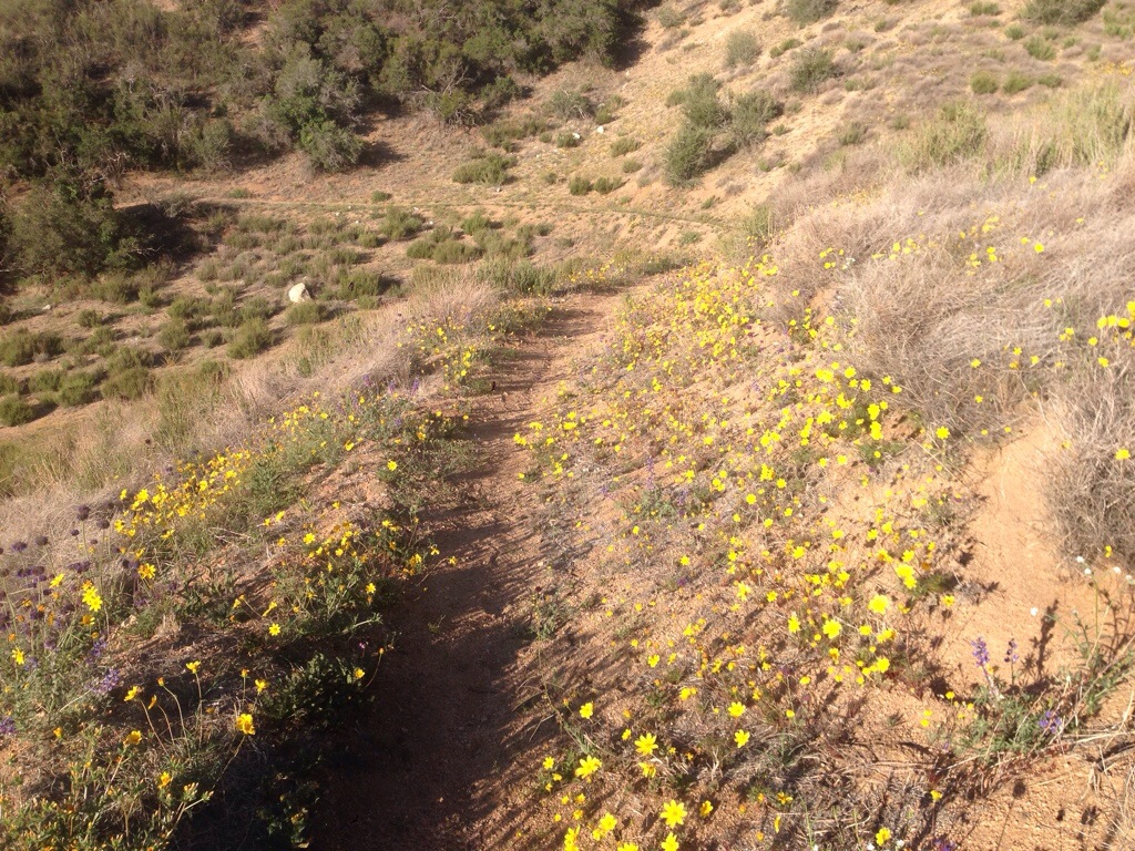
Today as I walked through a once burned out area heading towards Tehachapi I saw numerous fields of wildflowers. Some all yellow, all white, all purple, or mixed. I especially liked the fields of little purple ones.
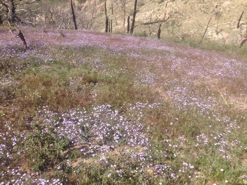
Today as I walked through a once burned out area heading towards Tehachapi I saw numerous fields of wildflowers. Some all yellow, all white, all purple, or mixed. I especially liked the fields of little purple ones.
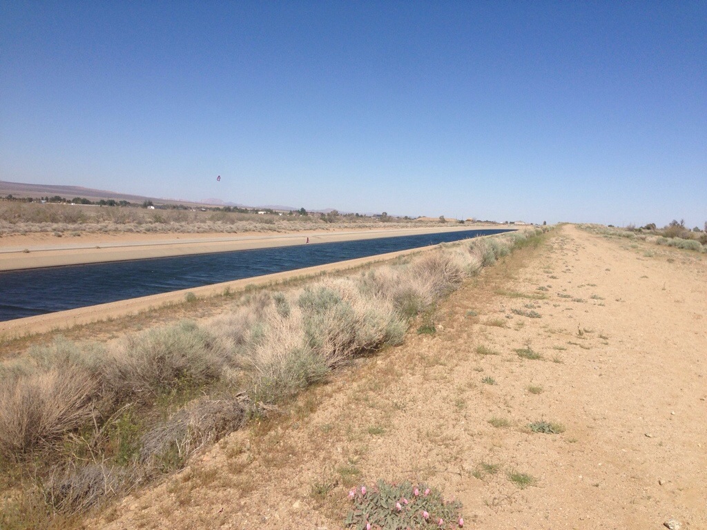
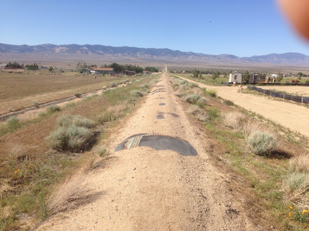
After leaving Hikertown we followed the California and LA Aquaducts for miles and miles mostly along dirt roads – yup, another day of pseudo-road walks. We left Hikertown at 3:30 PM and night hiked with a full moon as we are starting to cross the western Mohave desert. It was much cooler then.
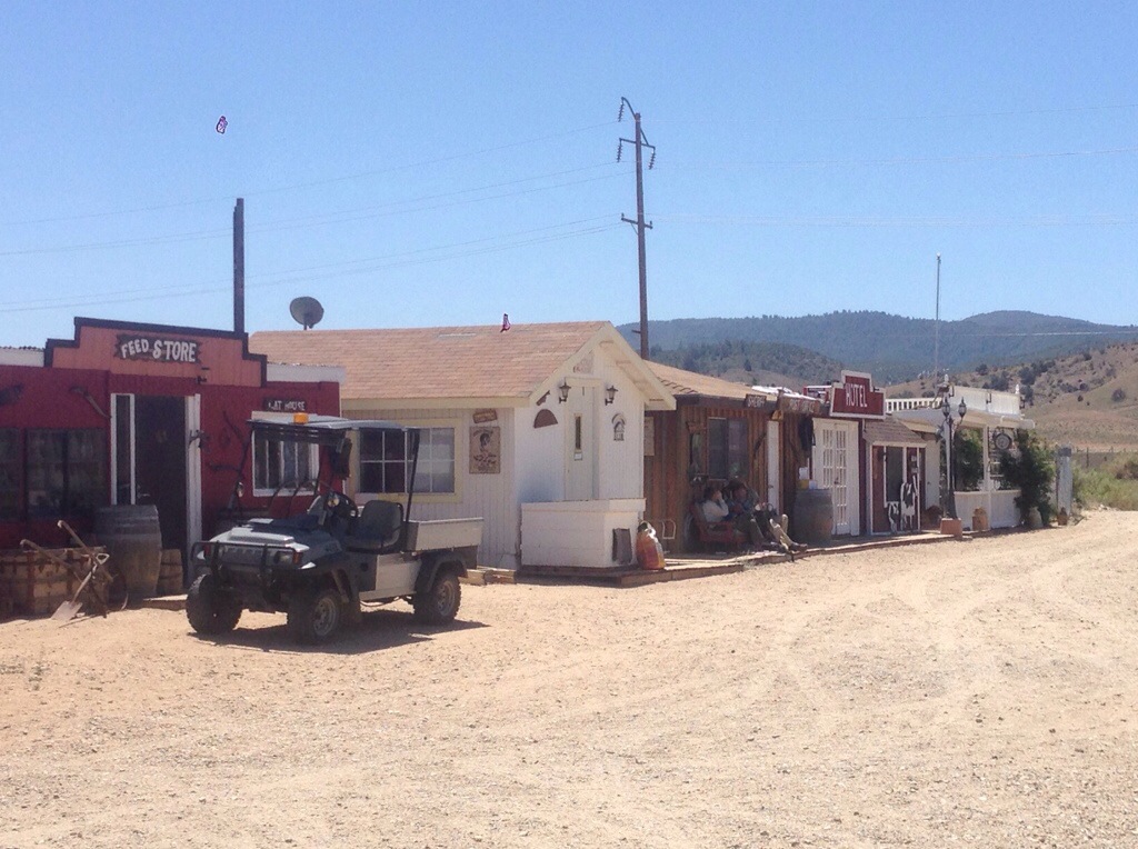
An unusual hiker spot is a farm with lots of little buildings forming a small town. As a result it’s called Hikertown. This is the last spot before I cross the western Mohave desert. Bilbo and I will be leaving here at 4 PM and hiking at night to start the desert crossing to a water cache part of the way.
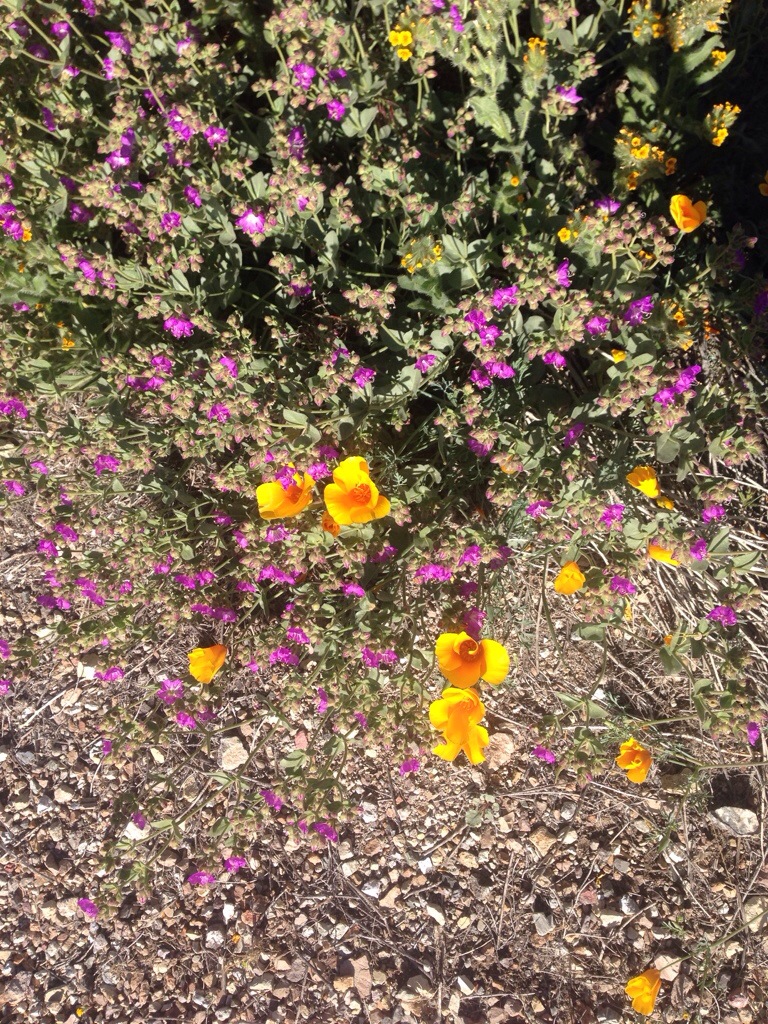
Pretty California Poppies brightened up my morning.
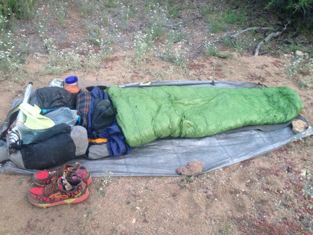
If the night is clear, that is, no rain is forecast and no clouds in the sky, then it’s fun to cowboy camp. No tent just the stars overhead. Lay down a ground cloth. Then put down your pad and bag. TA-DA! The nice part is that the next day you don’t have to spend the time to take down your tent and pack it up.
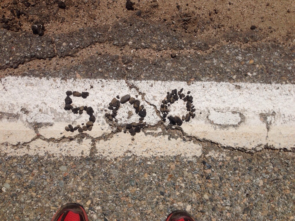
Woohoo! This is a big one.
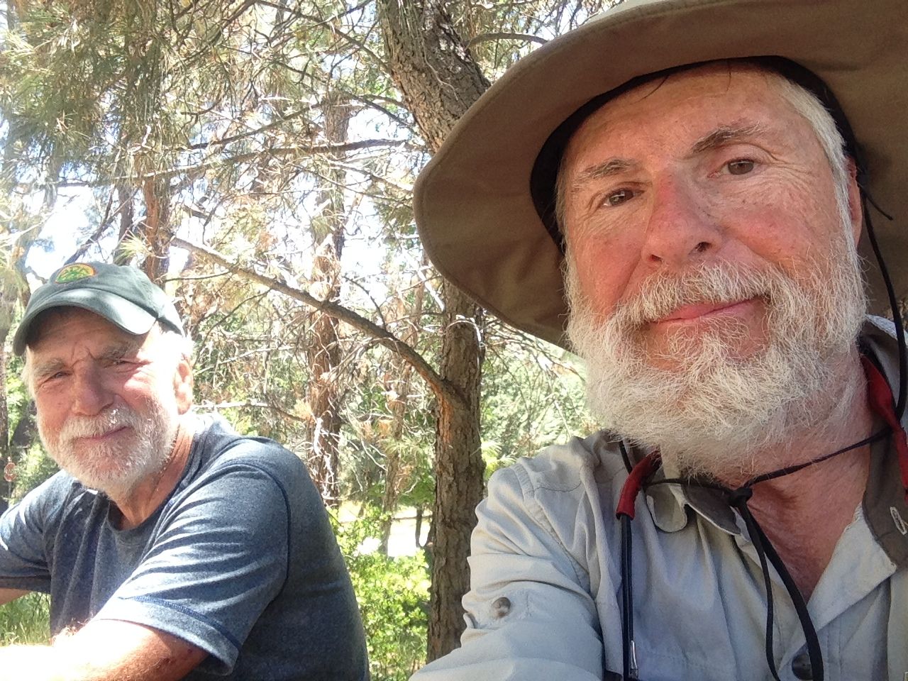
For the past day I’ve been hiking with Bilbo, my trail friend and a nice guy.
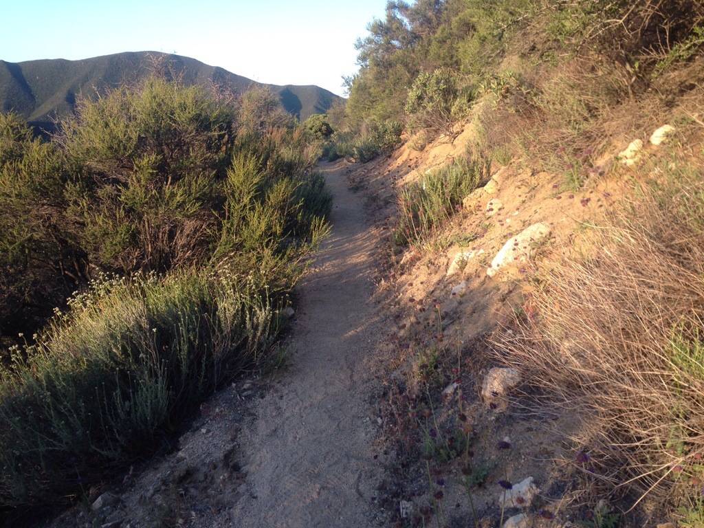
Typically the trail looks like this.
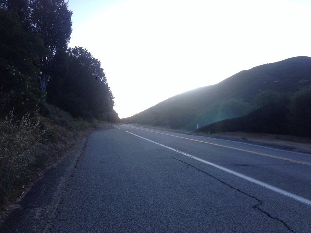
Today due to the trail closure from the Powerhouse fire the trail looked like this. Yes, we had a 20 mile road walk skipping trail miles 787 to 511. It was ugly but we got it done.
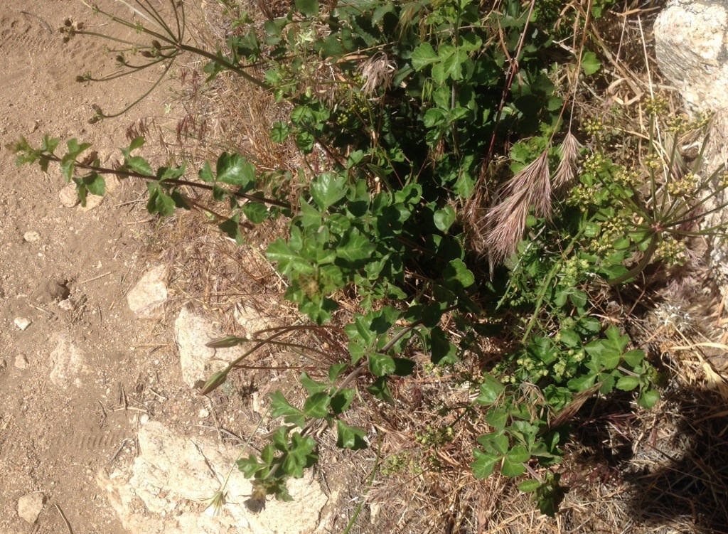
Someone said that we’re done with dancing around the dreaded Poodle Dog Bush. Over the past few weeks I have done numerous things to minimize my contact with this plant. And it’s just not dancing between, around, next to this stuff. I have taken major miles-long detours to skip infested areas. Near the end I not only had to twist and swerve for Poodle Dog Bush, but I also had to for bunches and bunches of Poison Oak. So today even though Poodle Dog Bush might be over, the Poison Oak is not. It definitely keeps you on you toes. As you hike you must constantly scan all the bushes that encroach upon the trail and recognize if it a “nasty” or not. I’m getting better at recognizing Poison Oak.
The PCT in Southern California does not have easy access to reliable water sources. The various maps and other resources have special annotations telling hikers where to find water on or near the trail. Sometimes it can be from 15 to 30 miles between reliable water sources. As a result the hiking community has at times “hidden” water on the trail for the hikers. These secluded spots typically have gallon jugs of water and are called “water caches”. The unwritten rule is to fill up only what you need to get you to the next reliable source. Naturally hikers should not rely on these sources because previous hikers could have used them up. However the trail angels who provide these caches are very good at keeping them stocked. Here is a pictures of the water cache at the Anderson’s Oasis around mile 471.
