It’s not all rain and snow…

It’s not all rain and snow…


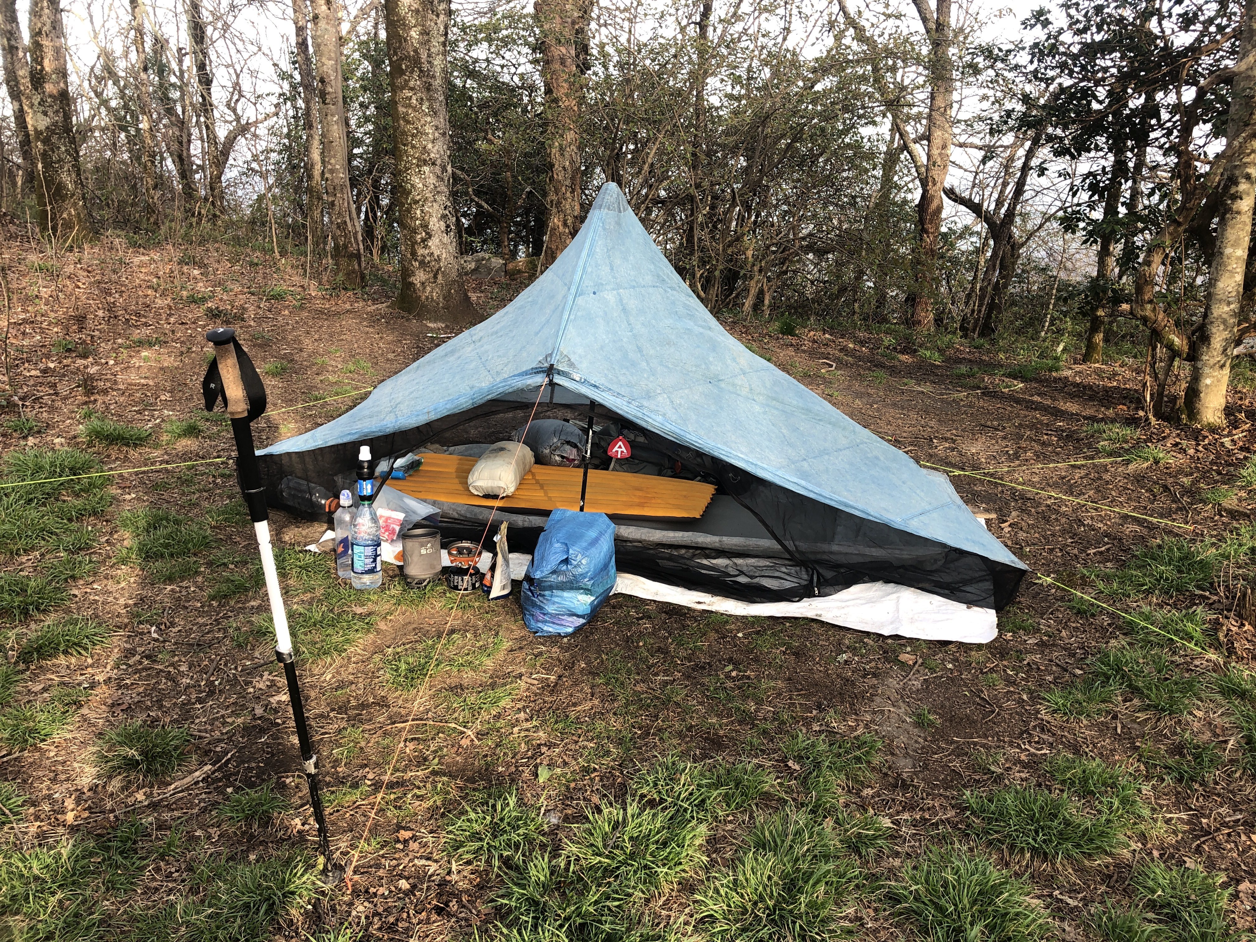
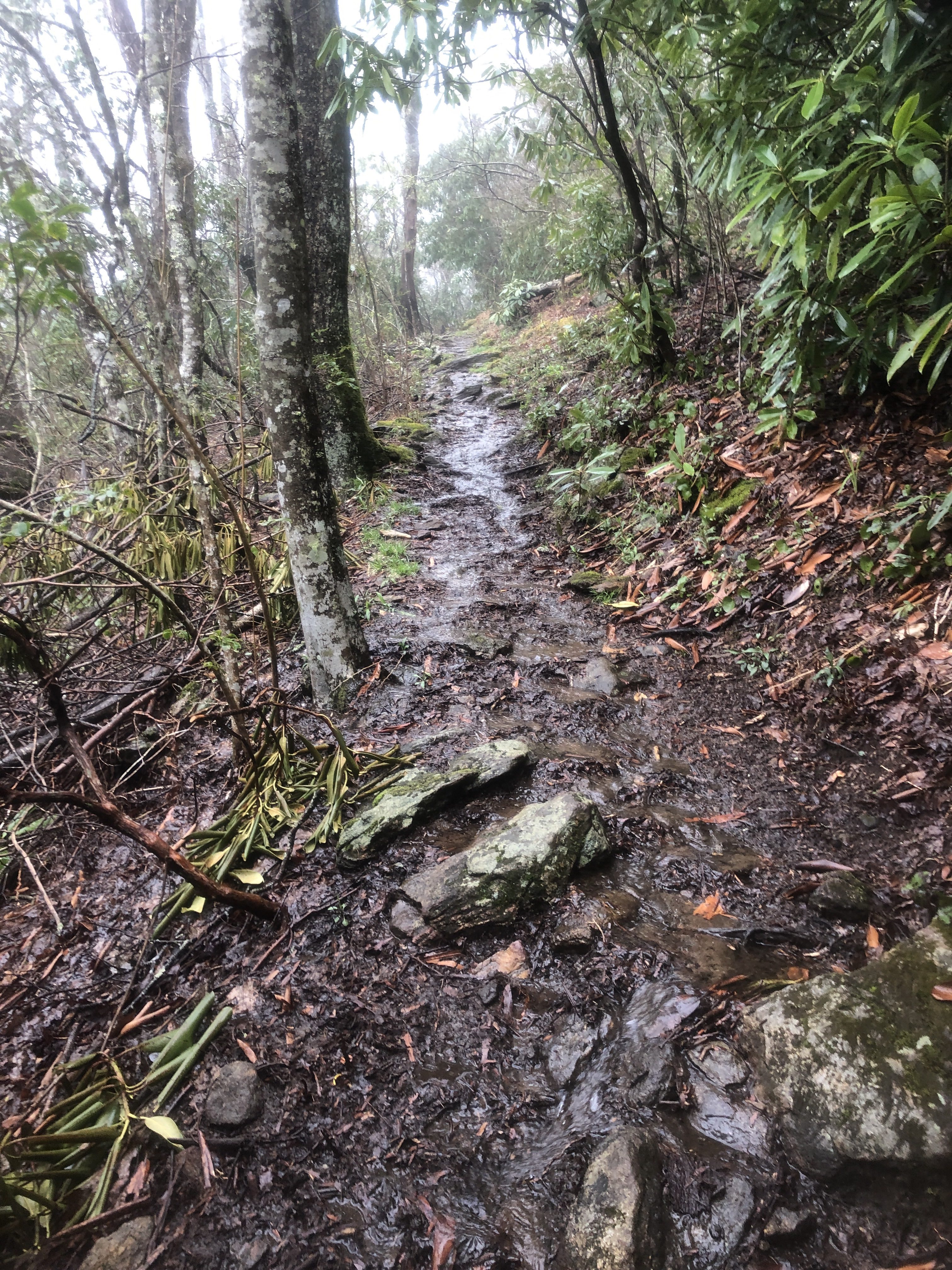
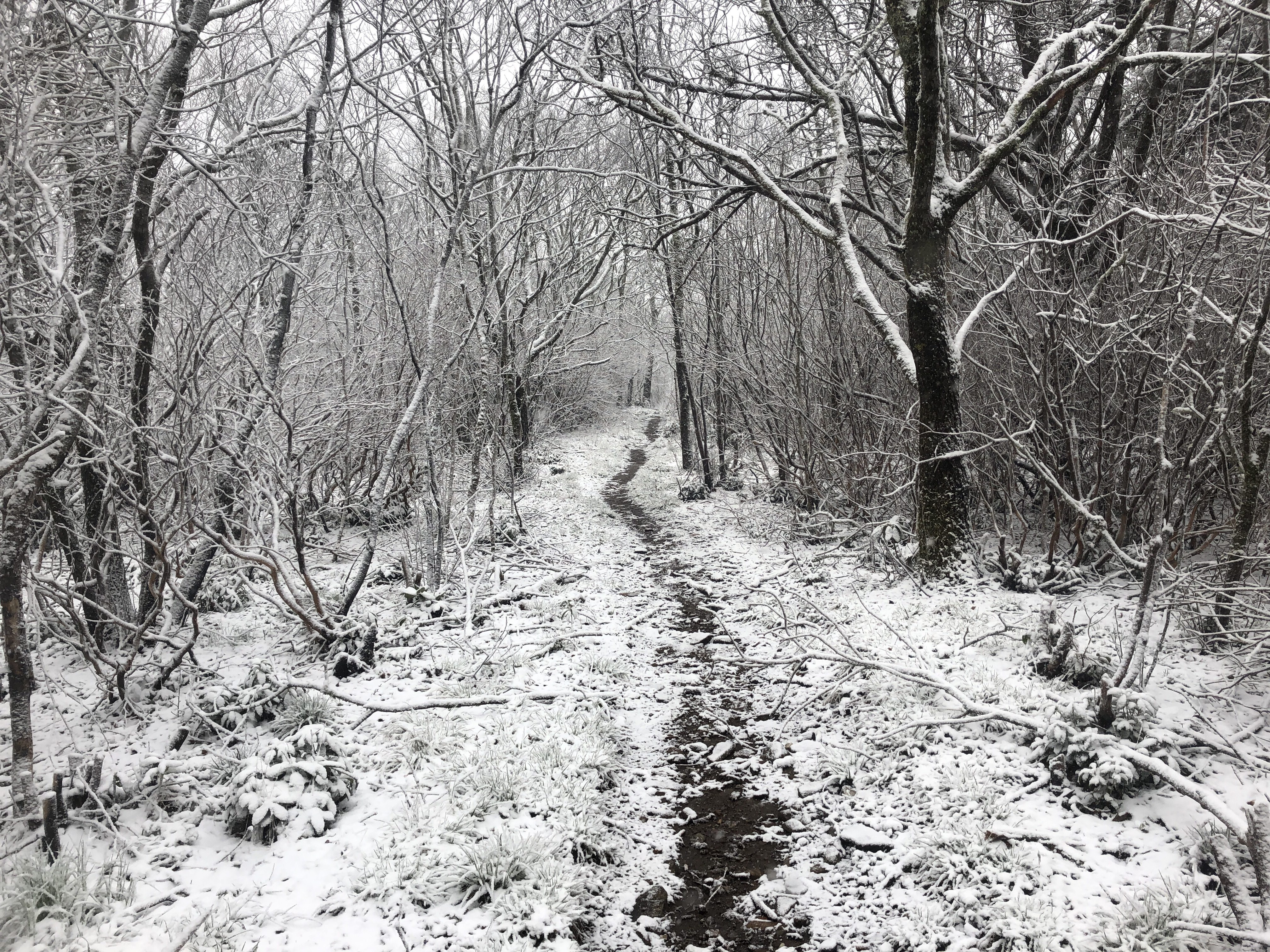
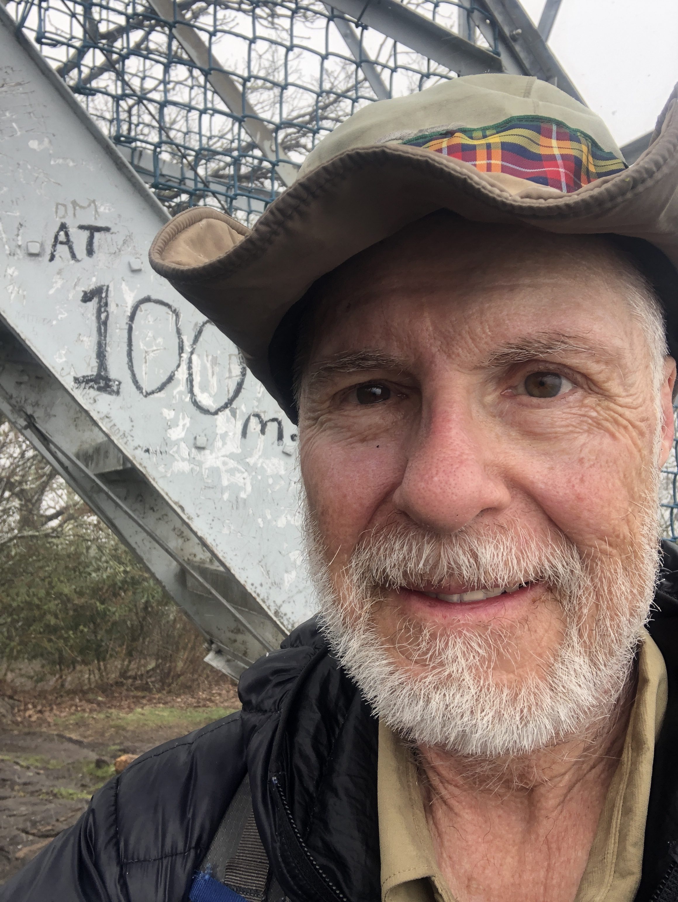
And this was only the first week. I am at mile 102
On Saturday I flew to Atlanta and took the Marta train to Sandy Springs. There I stayed overnight and on Sunday took the REI shuttle to both Amicalola State Park to get my hiking tag.

And to Forest Road 42 which is 1 mile from the Spring Mountain terminus.

Although it was clear for a while it started to torrentially rain. So after 7 miles and soaking wet I camped for the night.
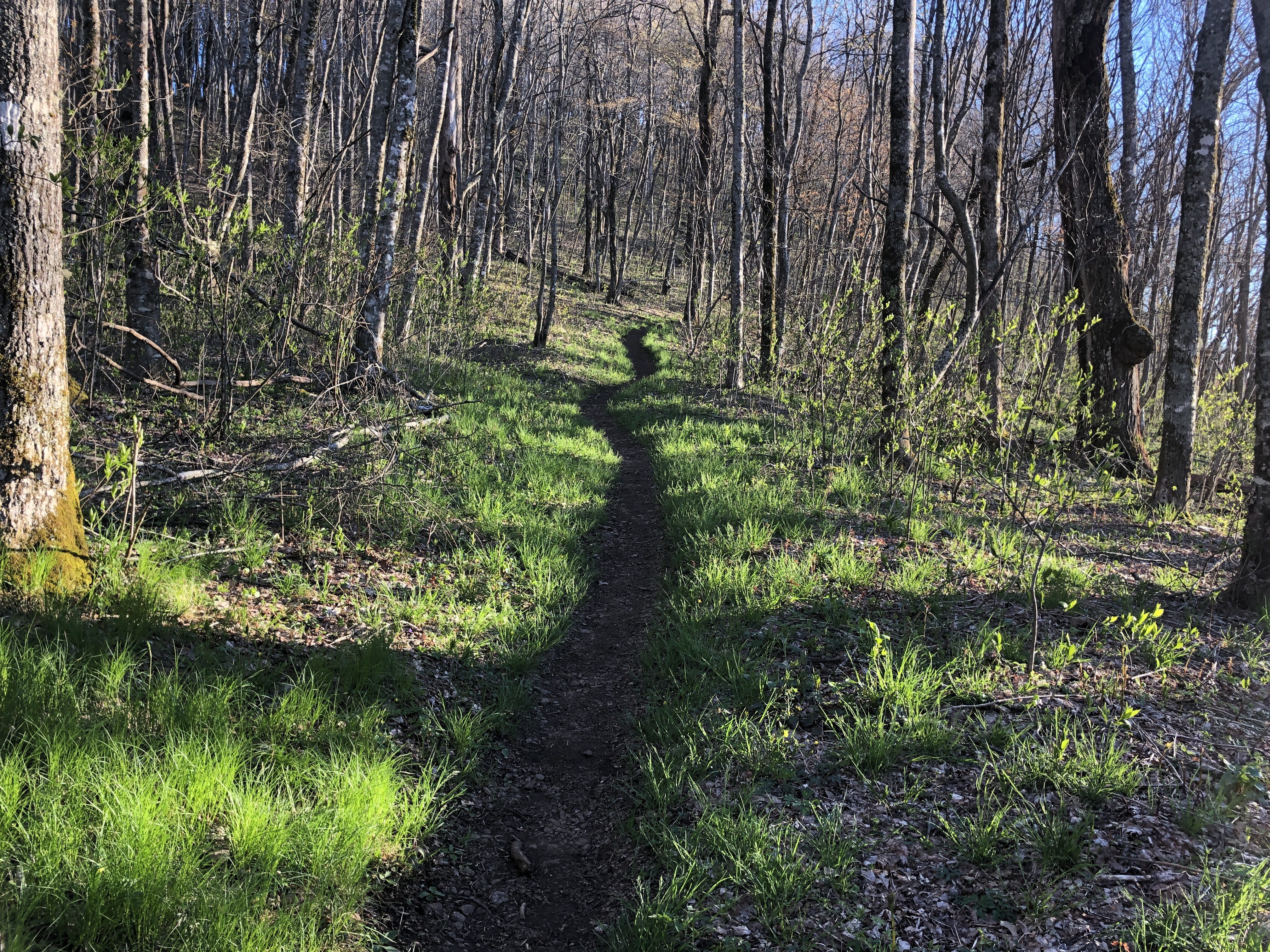
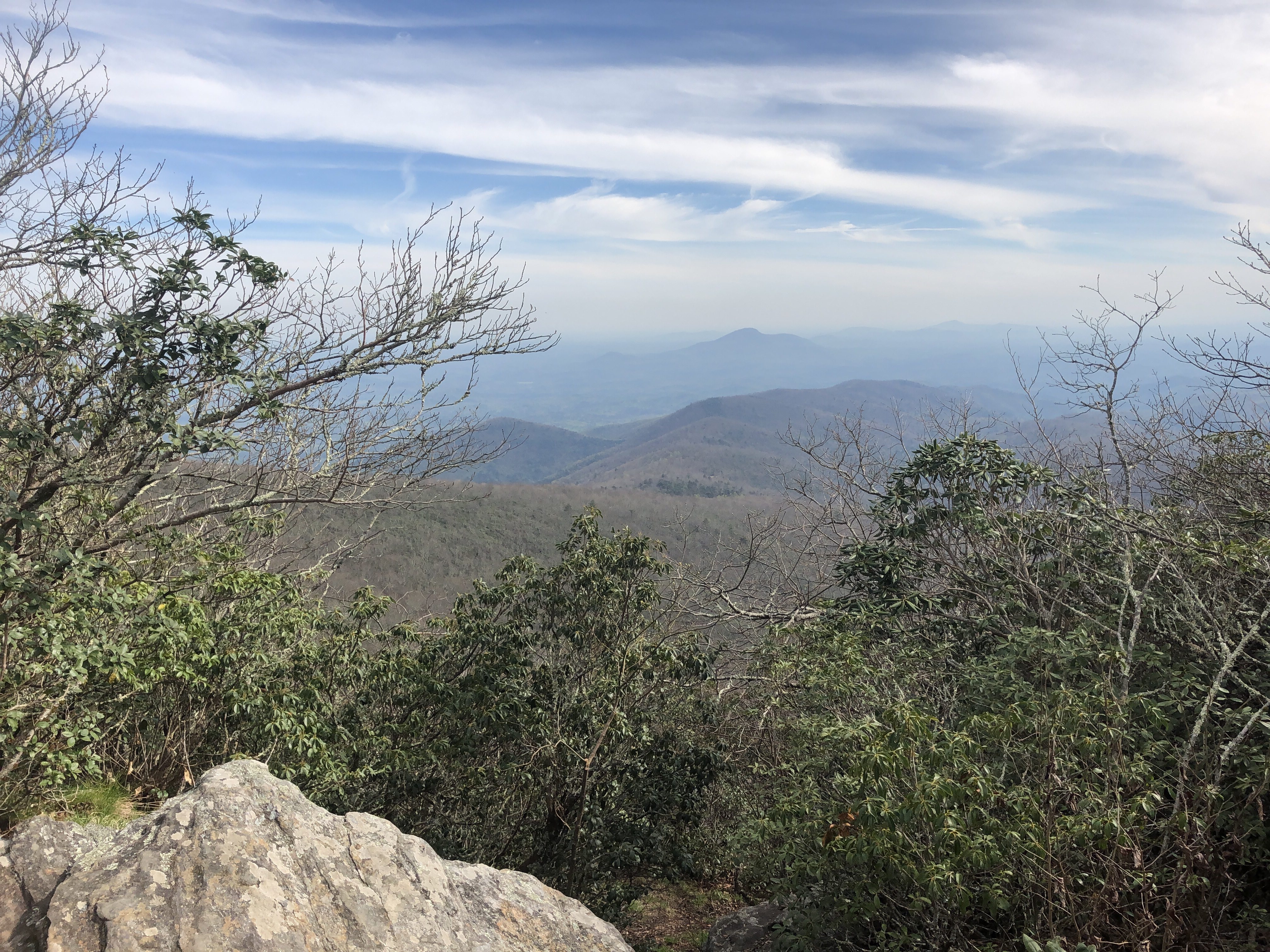
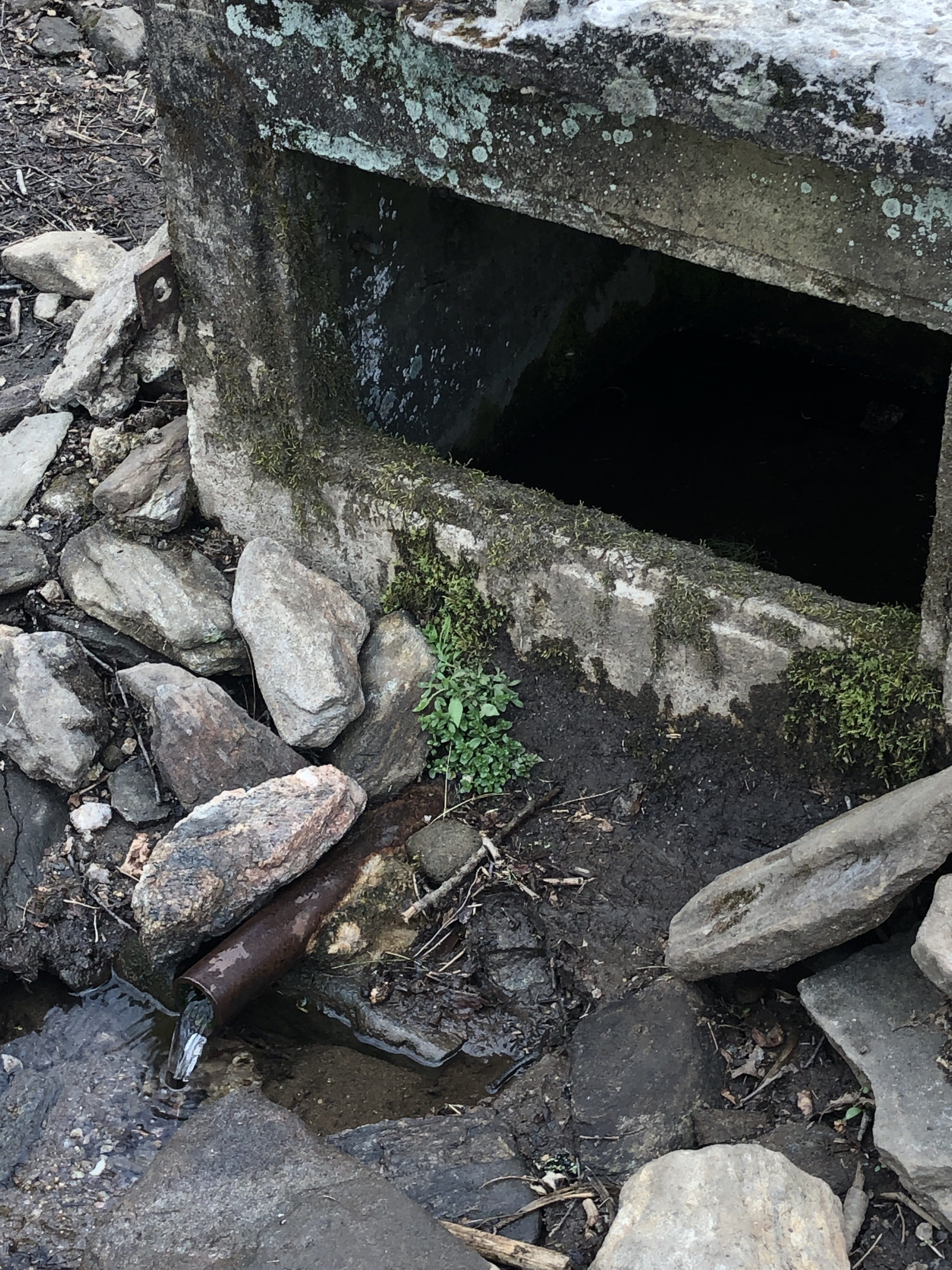
The next day was sunny and cool. Here’s a few photos of the trail.
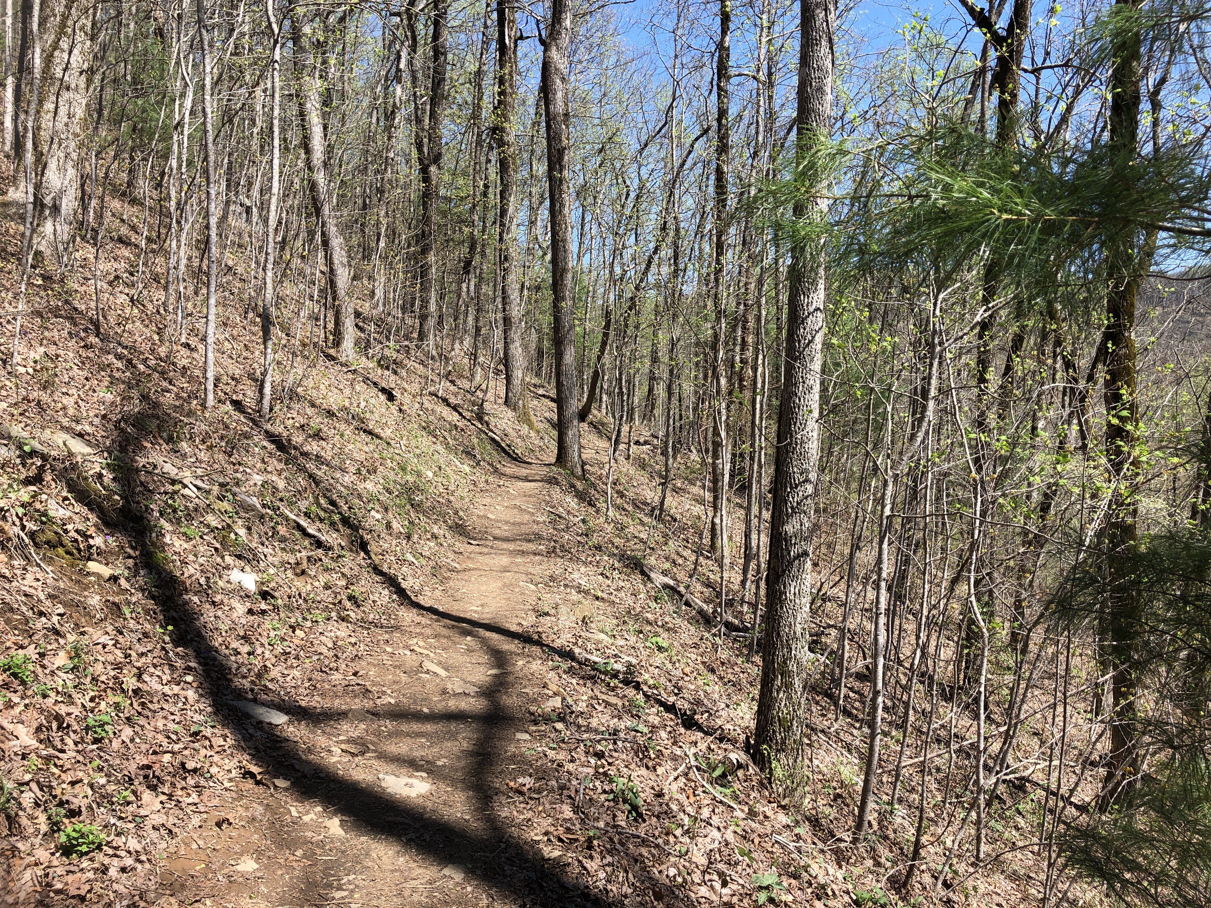
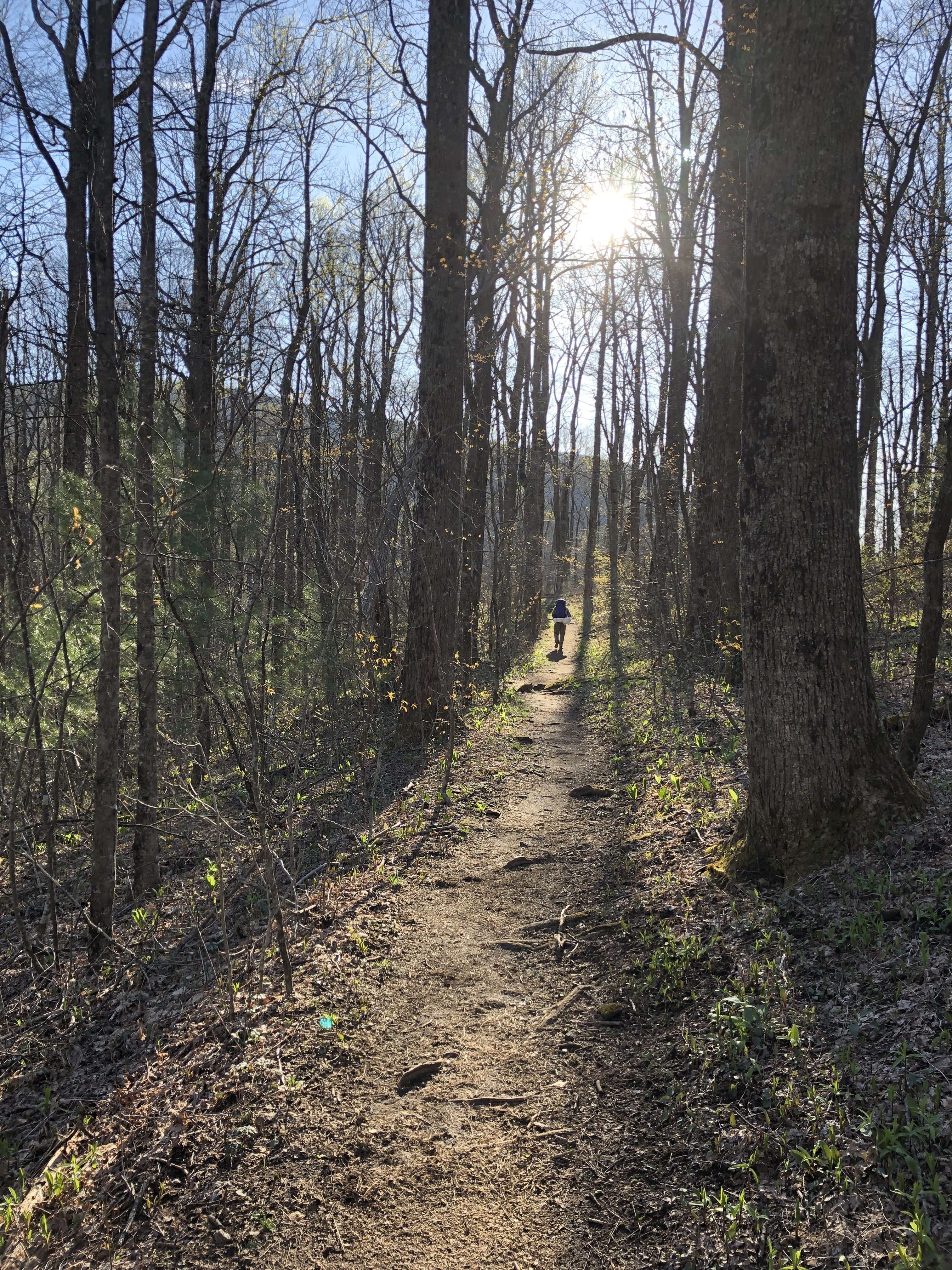
Today I passed Neel Gap where there is a tree for people who are giving up they toss their shoes into it.

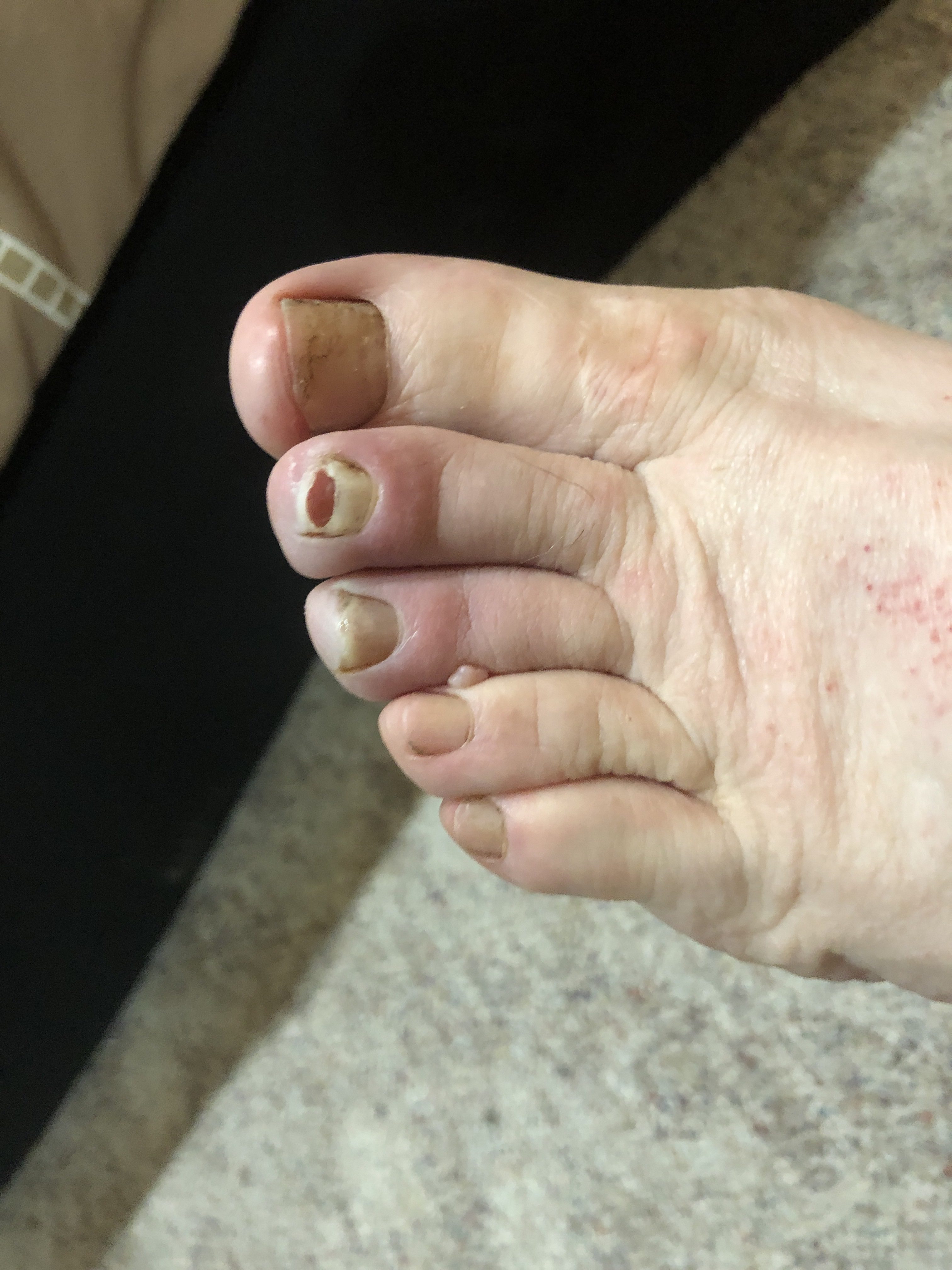
Today, day 3, I’ve made it to mile 42, but have a severe case of chaff – ugh. Tomorrow I need to resupply in Hiawasee GA.
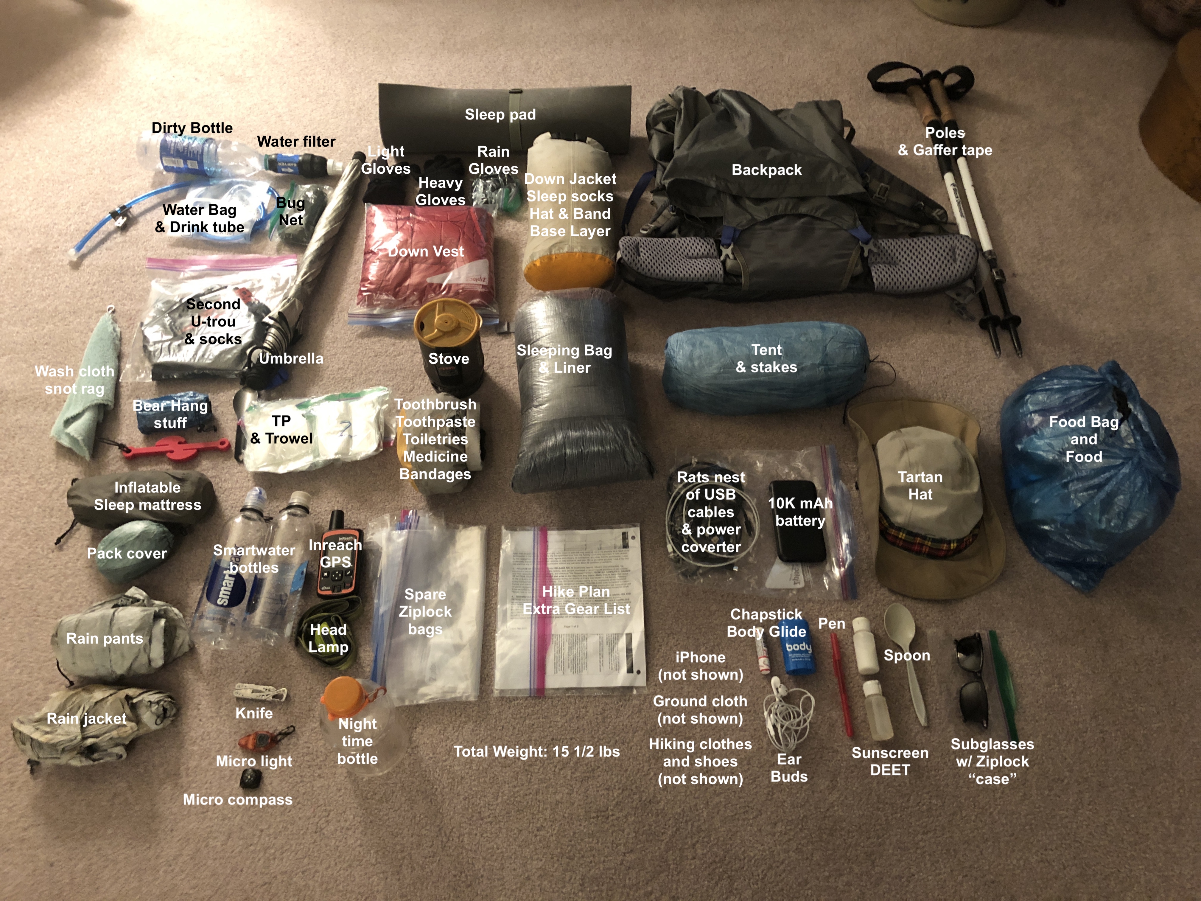
Here is my “kit” of gear. The “big three” (most weight) are my tent, sleeping bag and backpack. Overall everthing weighs without consumables (food and water) about 15 1/2 lbs, which is quite good.
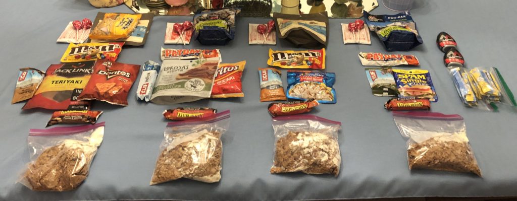
At the start I’ll be carrying four days of food, which is way too much for the first 60 miles, but I’m being conservative. Also I probably won’t eat that much, because hiker hunger will not have set in yet.

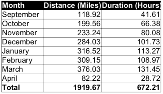
Today was my last prep hike. Here are my final stats. I covered almost the same distance as I’m planning to hike on the trail – 1919 miles vs 2192 miles. Wow! I didn’t expect that.
I’ve been busy doing all the last minute things. Yesterday I called it a wrap at work – I’ll miss them. Also I bought an old suitcase to hold my backpack during my flight to Atlanta. Today I finished my extra gear list as my last planned document. Right now I’m charging all my device batteries. Tomorrow I have to explode my backpack and make sure I have everything. And then pack it all back up neat and nice, put it in my suitcase, and I’m as ready as I can be.
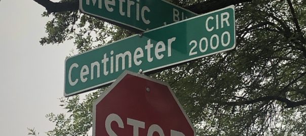
On my morning 10-mile hike on Metric Blvd I cross Centimeter Cir and it makes me smile knowing that the person who names streets had a sense of humor
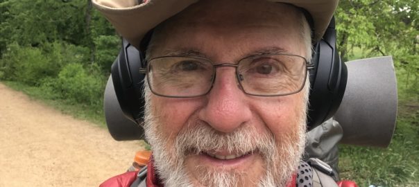
I’m done with the major physical preparations for the hike. I’m now in taper with only 2 weeks to go before I start on April 14th. This means I’ll be dropping my mileage down to allow my body to recover. I’ll also get antsy, because it’s now habituated to both the distance and weight, but with them being greatly reduced it’ll be nervously wanting to do something. Yay! Almost there, and I’m ready…

More hills today. This time it was down Ladera Norte and up Far West, and then repeat 4 times for a total of 8 climbs and about 10.5 miles. I have to keep this up until I leave on April 13th because the AT has some serious hills.
What was special is that when I was about half-way I met two ladies, Jane and Ada, who asked if I was planning I hike. I’m hard to miss now with my full pack and hiker trash clothing – some people might think I’m a homeless hobo. I said that I was going to hike the AT (Appalachian Trail). They asked how much of it, and I replied the whole thing from Georgia to Maine. They said, “Wow!” It’s always fun to meet curious people and tell them about my upcoming grand adventure. And one of them, Ada, was really interested in doing some of the Appalachian Trail herself as a section hiker since she working. I gave her my blog address if she wants to follow me. So, Ada, if you read this you might want to post a comment here – to just to say hi. Also there are others in Austin who are interested in hiking (FB Austin Long Distance Hiking group: https://www.facebook.com/groups/1507664256177219/) and backpacking (Austin Backpackers meet-up: https://www.meetup.com/backpackers-170/). They are good people who you could meet and learn more about hiking and backpacking. Thank you again. You gave me a nice break, and I always enjoy talking about the trail. All the best to you both.
As I’ve said before in this blog I hike each day except Mondays and over time I’ve built up my distance and load from a few miles and pounds to about 100 miles per week and 30 pounds. Now it’s time to switch from a weighted vest to my backpack and to reduce my mileage so as to taper before I leave.
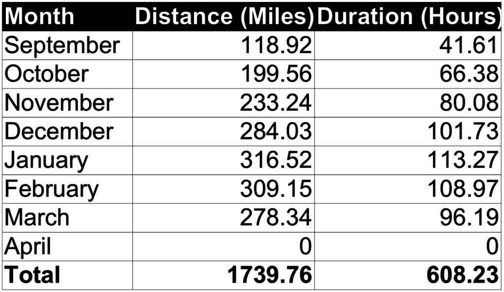
I’ve been tracking my hikes using the Map My Walk app on my iPhone. Here is a table of monthly mileage I’ve put in since September. It’s not complete (I’ve got 3 weeks to go), but it shows that I have hiked over 1700 miles in preparation. This is very similar to what I did in preparation for the PCT. So I’m ready – or at least I think and hope I am!

Although it will change on trail, I wanted to put a rough plan together of where I’d be stopping for resupply. I’ll be doing resupply-as-you-go, which means I’ll buy at stores in towns along the trail as I hike by them. This is as opposed to sending myself boxes of food from home. Depending upon the distance to the town I will sometimes have to hitchhike to town.
There were many choices of towns and I somewhat randomly picked ones that were about 50-100 miles apart. I integrated material from AWOL for each one, such as, the mile marker, exit point description and distance. Also I read a few posts from other hikers for recommendations. For example, Appalachian Trail Thru-Hiker Resupply Points, and Appalachian Trail Post Offices. Finally I talked with another local thru-hiker, thanks Paul L., and got his suggestions.
So here is my hiking plan. It is a spreadsheet and includes the mile marker and mileage to the next resupply. Having the town-to-town mileage is crucial in estimating the amount of hiking days and therefore the number of meals (breakfast, snacks, lunch, snacks, and dinner) that I will need.